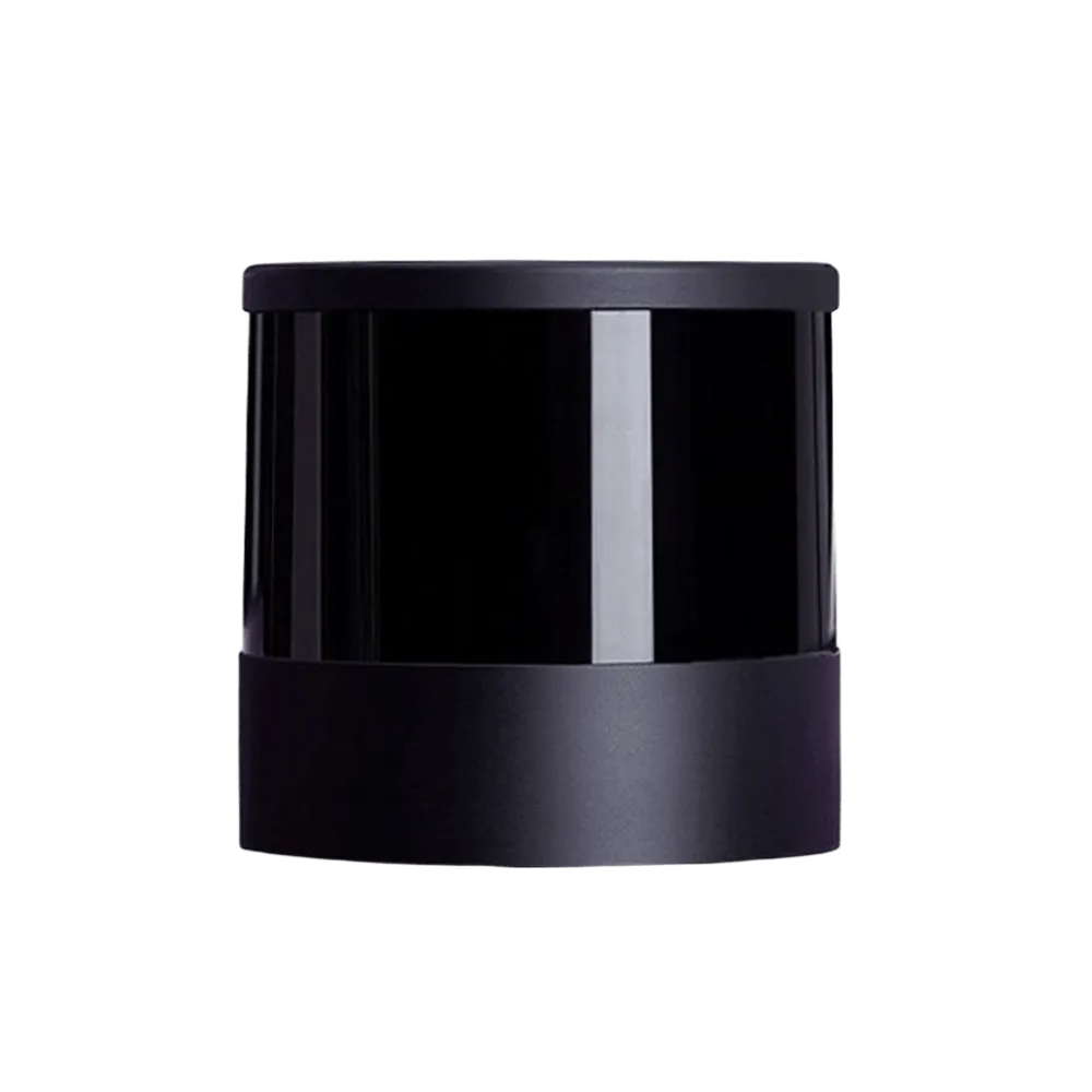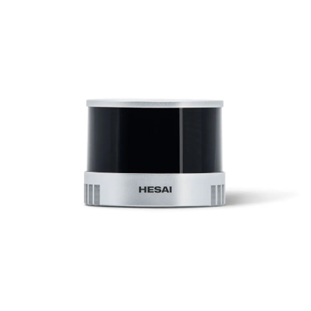
LiDAR Hesai XT16
Laser wavelength: 905 nm
USD · Volume pricing available
Categories:
Certifications
Global Shipping 7-14 Days
DHL, FedEx, UPS, Air & Sea
Genuine Products
Authorized distribution
Export License Ready
ECCN, CO, CI, PL, EUS docs
24/7 Tech Support
Pre & post sales
Export Compliance
6A005AI confidence 65% · Export license may be required depending on destination and end-use.
Buyer Tier Benefits
Tier discounts stack with volume pricing. Automatically applied after your first order.
Choose the Hesai XT16 industrial 3D lidar for professional navigation and mapping!
Get a complete picture of your surroundings in real time. The Hesai XT16 lidar provides a 360-degree all-round view and a 30-degree vertical field of view. The device generates 320,000 points per second with centimeter accuracy. Its rugged housing and wide power range make it ideal for drones and robotics. Choose a reliable tool for autonomous systems.
-
360 degree all-round visibility. Provides full awareness of the surrounding environment.
-
High range 120 meters. Allows you to detect objects at a considerable distance.
-
Centimeter accuracy ±1 cm. Ensures reliable data for mapping and navigation.
-
High dot density of 320,000 dots/s. Creates a detailed cloud for precise analysis.
-
All-weather protection IP67. Works in rain, dust and extreme temperatures.
Operating principle and technical capabilities
The Hesai XT16 lidar uses time-of-flight (ToF) technology with a rotating mirror to scan space. 16 laser channels with a wavelength of 905 nm create a vertical field of view of 30 degrees. The rotation mechanism provides a horizontal view of 360 degrees. The rotation speed is adjusted to select the horizontal resolution. At 10 Hz the horizontal resolution is 0.18 degrees. The measuring range reaches 120 meters for highly reflective objects.
The measurement accuracy is ±1 centimeter, and the precision reaches 0.5 cm. Laser class 1 makes the device safe for the eyes.
Technical characteristics and areas of application
| Characteristics | Meaning |
|---|---|
| Measuring range | 0.05–120 m |
| Accuracy | ±1 cm |
| Accuracy (precision) | 0.5 cm (1σ) |
| Horizontal field of view | 360° |
| Vertical field of view | 30° (-15° ~ +15°) |
| Dots per second | 320 000 |
| Number of channels | 16 |
| Power consumption | 9 W |
| Supply voltage | 9–36 V |
| Weight | 800 g |
| Housing protection | IP67 |
The Hesai XT16 lidar is ideal for unmanned aerial vehicles. It provides precise positioning, obstacle avoidance and construction of 3D terrain maps. The device is widely used in autonomous transport systems, robotics and infrastructure inspection. A high degree of protection allows it to be used in any weather conditions.
Specifications
- Laser wavelength: 905 nm
- Laser class: Class 1 (safe for eyes)
- Measuring range: 0.05–120 m
- Measurement accuracy: ±1 cm
- Range measurement accuracy (precision): 0.5 cm (1σ)
- Horizontal field of view: 360°
- Vertical field of view: 30° (-15° ~ +15°)
- Horizontal resolution: 0.18° @ 10 Hz
- Vertical resolution: 2°
- Number of points per second: 320,000 points/s (single return)
- Number of channels (beams): 16
- Power consumption: 9 W
- Supply voltage: 9–36 VDC
- Weight: 800 g
- Dimensions: ∅76 × 103.2 mm.