LiDAR (Light Detection and Ranging) uses laser pulses to create precise 3D point clouds, penetrating vegetation canopy to map terrain beneath — a critical advantage over photogrammetry for forestry, power line corridor mapping, and topographic survey.
Lidars Market Overview
Key Specifications & Features
- Range from 50m (indoor) to 500m+ (survey-grade) at 10-20% reflectivity targets
- Point rates from 100k points/sec (entry) to 2.4M points/sec (premium survey systems)
- Accuracy: 1-3cm horizontal, 2-5cm vertical with RTK/PPK integration
- Integrated IMU (BMI088/ICM-42688) and GNSS for direct georeferencing — no GCPs needed
- Multi-return (up to 3 returns) for canopy penetration and terrain modeling under vegetation
How to Choose Lidars
A systematic 5-step process for selecting LiDAR sensors for drones for your specific operational requirements.
- 1
Determine Mapping Requirements
Bare-earth terrain under canopy requires LiDAR (photogrammetry cannot penetrate vegetation). Open-pit mines, corridors, and stockpiles can use either. LiDAR excels in forests, power lines, and linear infrastructure.
- 2
Select Range & Point Rate
For 80-120m AGL mapping: 100-200m range, 200-500k points/sec. For 150m+ altitude: 300-500m range, 500k-2M points/sec. Higher point rate = denser clouds but more data processing.
- 3
Evaluate Accuracy & Georeferencing
Look for integrated high-grade IMU (tactical-grade for survey) and RTK/PPK GNSS. Direct georeferencing eliminates GCPs. Check stated vertical accuracy: 2-5cm at 100m is survey-grade.
- 4
Assess Weight & Power
Entry LiDAR (Livox Mid-360): ~260g, fits on 900mm quad. Survey systems (RIEGL, YellowScan): 1-4kg, require heavy-lift drone (M300, custom 900-1100mm). Calculate payload capacity and flight time.
- 5
Plan Processing Workflow
LiDAR point clouds require specialized software: TerraSolid, LAStools, CloudCompare (free), or DJI Terra. Output formats: LAS/LAZ, DEM/DSM, contour lines. Budget processing time and storage (10-50GB per flight).
Top Rated Lidars on Aegisky

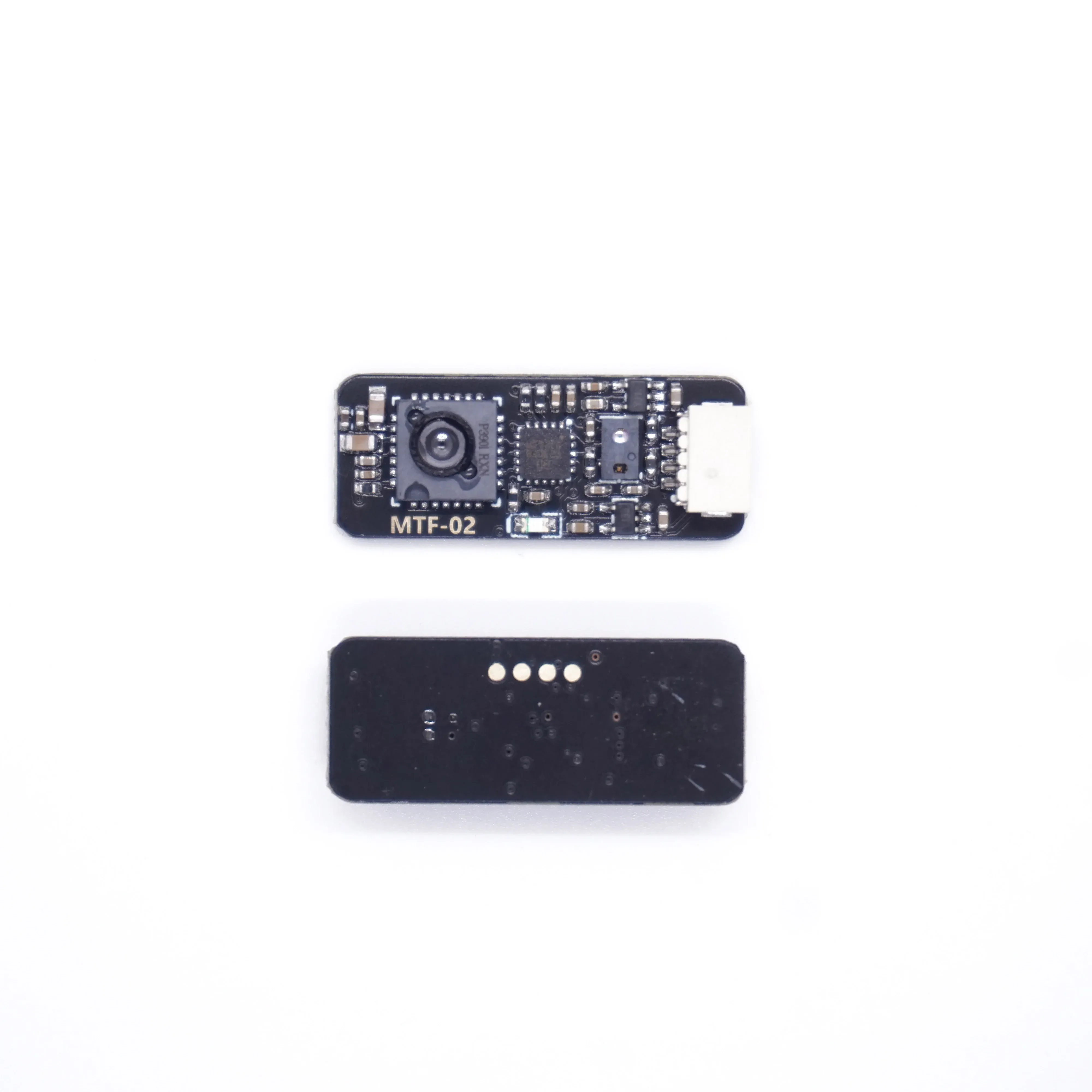
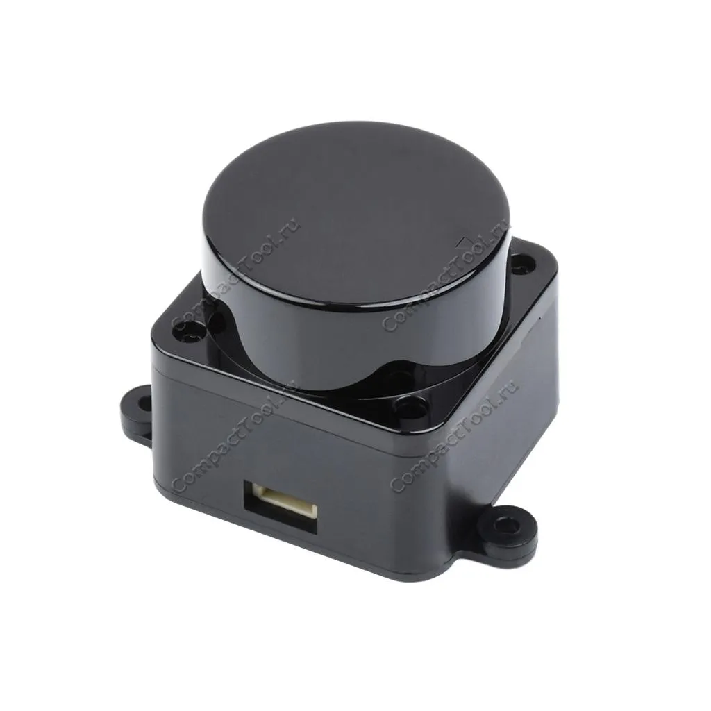
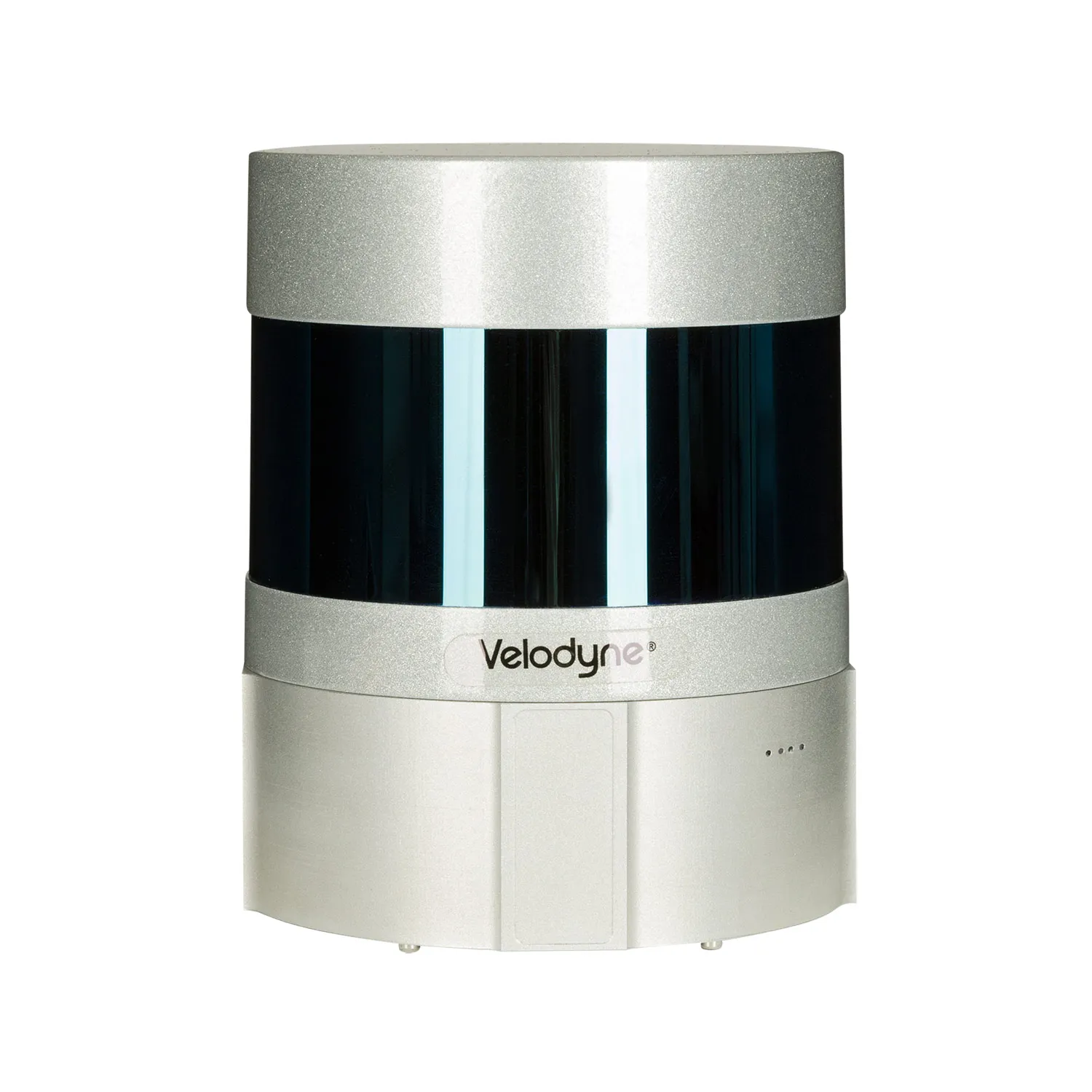
Key Terms & Definitions
Point Cloud
Massive dataset of 3D coordinate points (X, Y, Z) collected by LiDAR, representing the scanned environment. Processed into DEMs, DSMs, and 3D models.
Multi-Return
LiDAR records multiple reflections per pulse — first return from canopy top, last return from ground beneath. Enables terrain modeling under tree cover.
Direct Georeferencing
Using integrated GNSS+IMU to assign real-world coordinates to each point without ground control points. Requires RTK/PPK for centimeter accuracy.
GSD Equivalent
For LiDAR, point density (points/m²) replaces photogrammetric GSD. 50-200 pts/m² typical for corridor mapping; 200+ for detailed engineering.
Frequently Asked Questions
LiDAR or photogrammetry — which should I use?
LiDAR for vegetation penetration, terrain modeling, power line corridors, and low-light conditions. Photogrammetry for visual texture, color accuracy, open-pit volumes, and lower cost. Many survey firms use both — LiDAR for terrain, photogrammetry for orthomosaics.
How much does a drone LiDAR system cost?
Entry (Livox Mid-360 based): $3,000-8,000. Mid-range (DJI L1, GreenValley): $15,000-40,000. Survey-grade (RIEGL VUX, YellowScan Voyager): $60,000-150,000. Includes sensor, IMU, GNSS, and processing software.
Do I still need GCPs with drone LiDAR?
With RTK/PPK direct georeferencing, GCPs are not required for most applications. However, 3-5 check points are recommended for QA/validation to verify stated accuracy, especially for engineering-grade deliverables.
Related Resources
Request a Bulk Quote
Need LiDAR sensors for drones for your organization? Get competitive quotes from verified suppliers with bulk pricing, OEM/ODM options, and global shipping.
Start RFQ