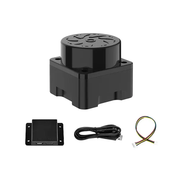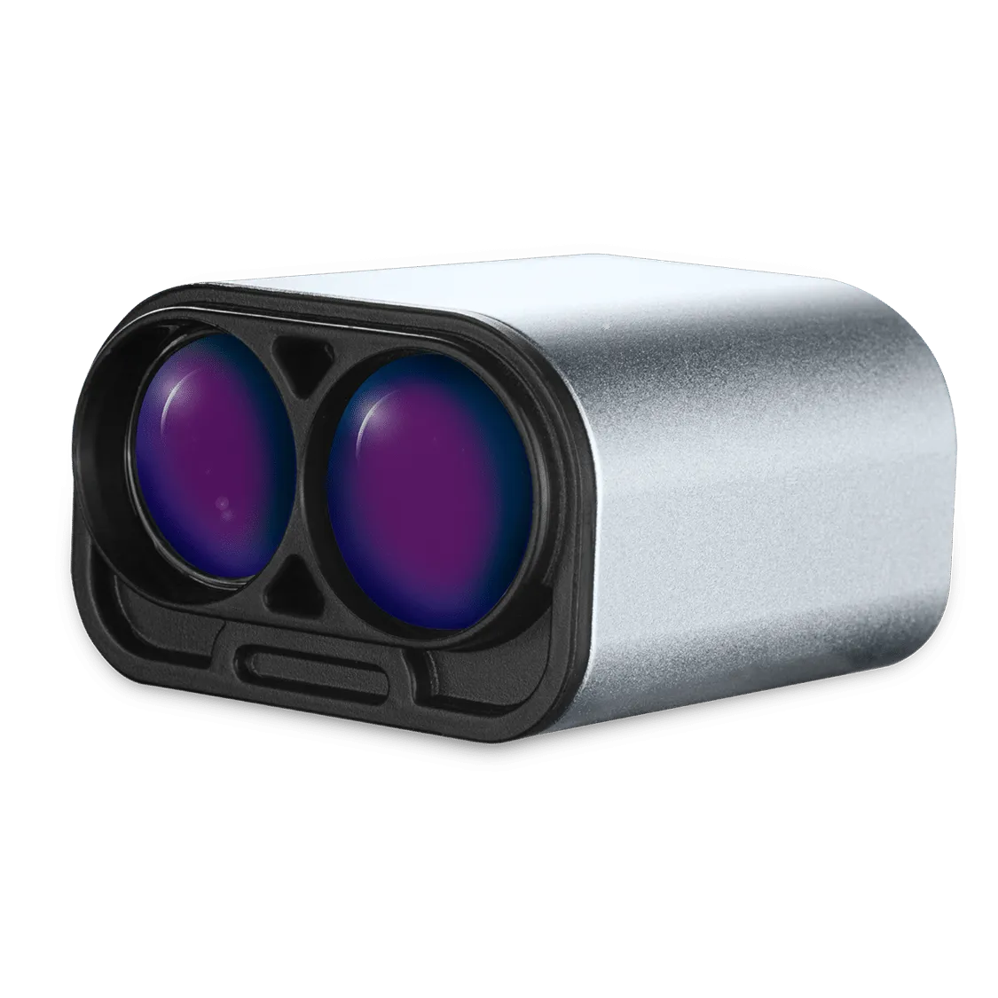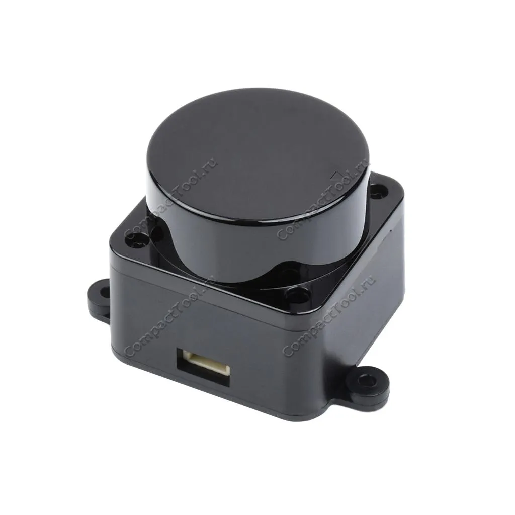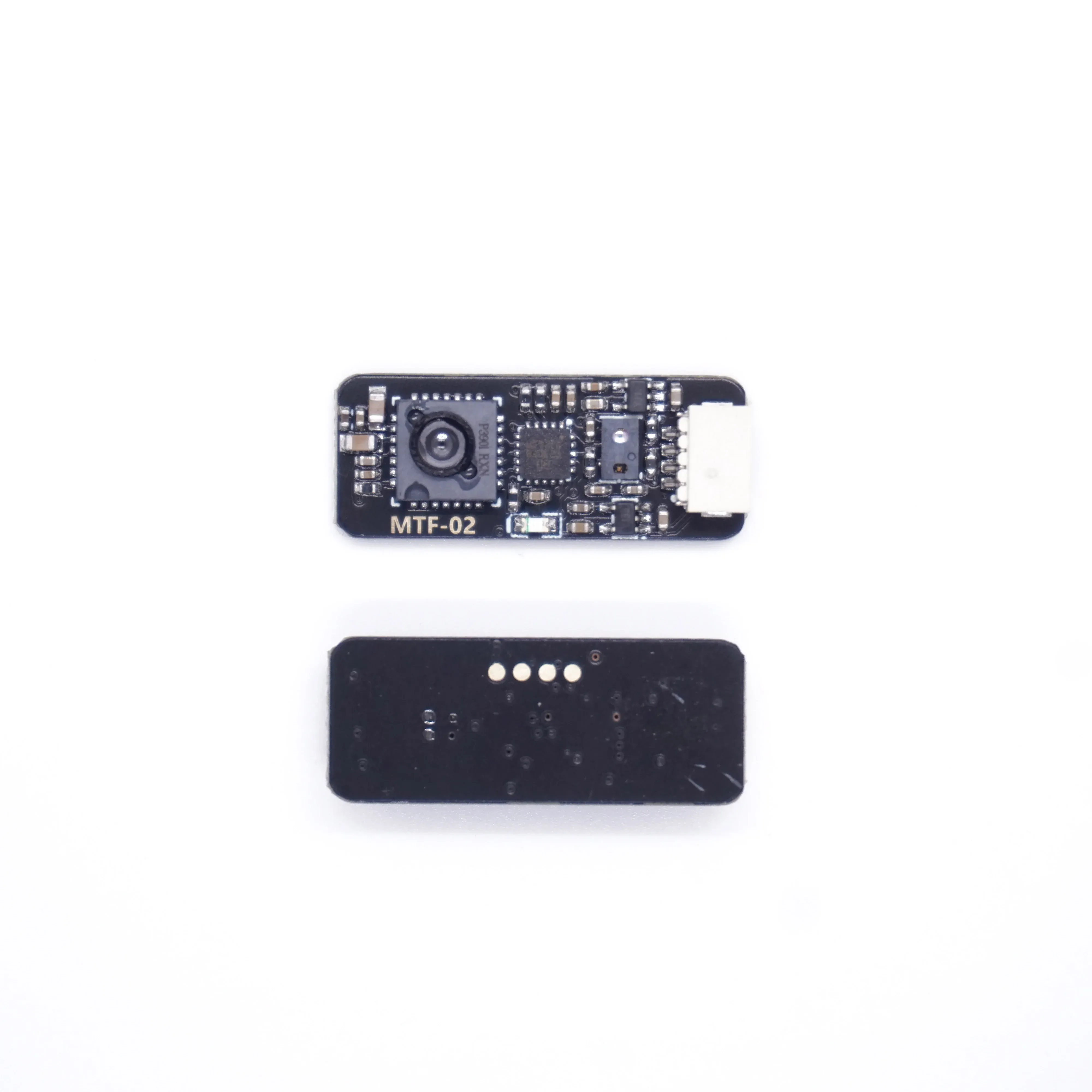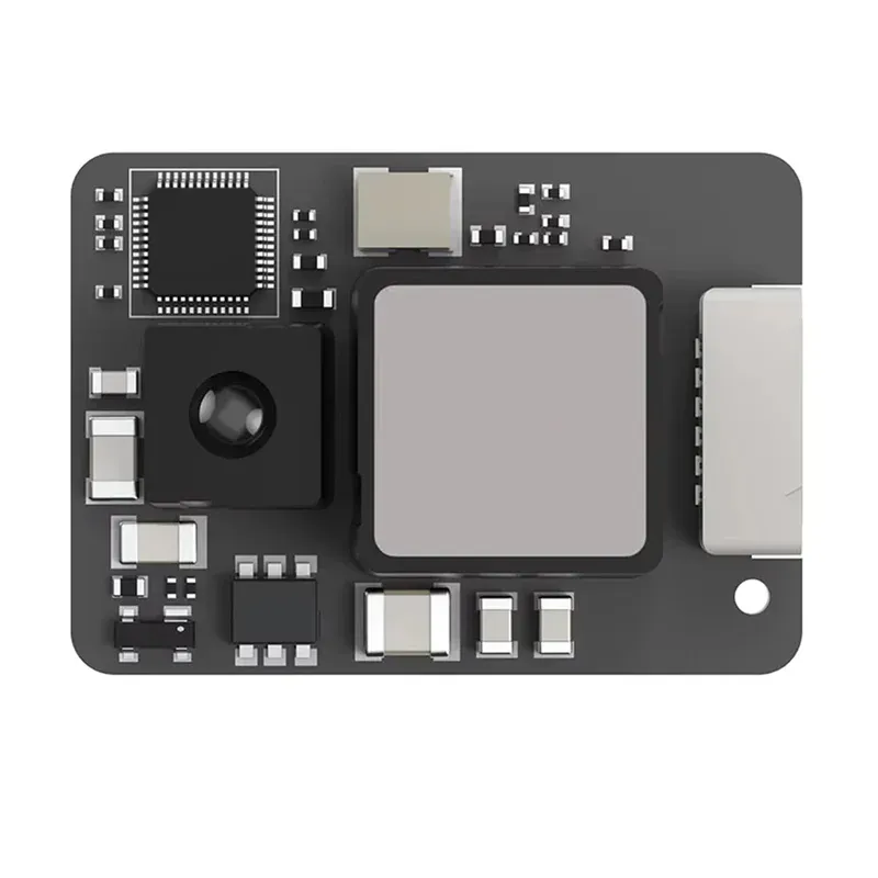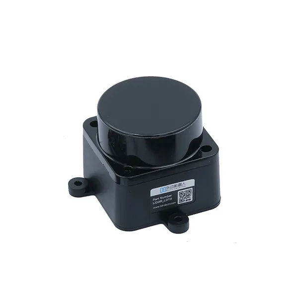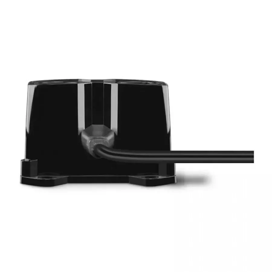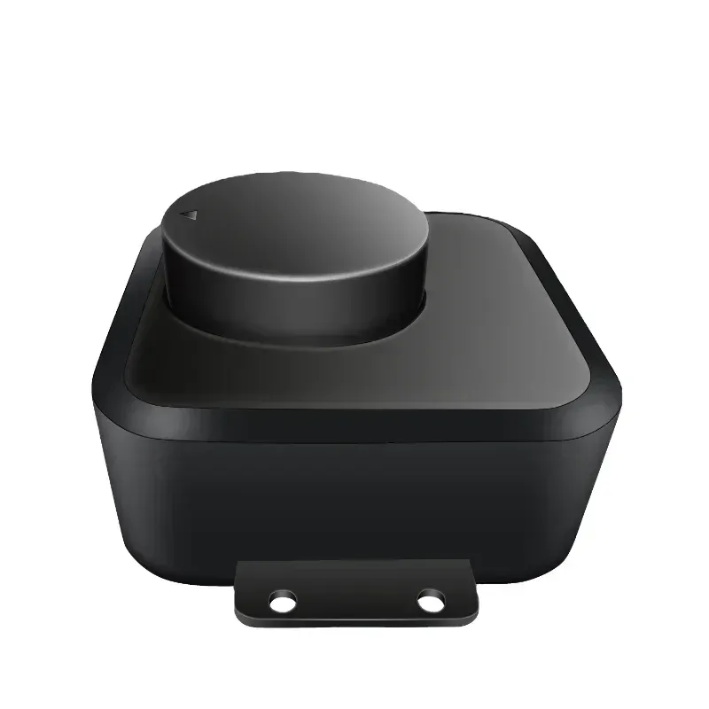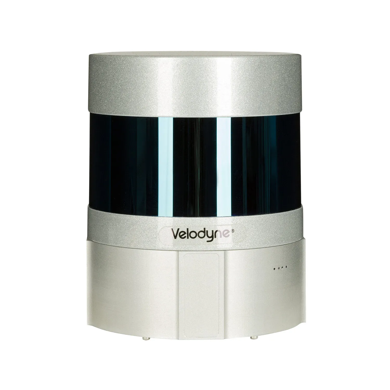
Laser scanner 激光雷达 200 Ultra+
lightest laser scanner 型号 无人机用 在 市场, 重量 的 完整 套装 是 无 更多 比 1.2 千克.
USD · 批量阶梯价
分类:
合规认证
全球配送 7-14天
DHL/FedEx/UPS/空运/海运
正品保证
品牌授权,假一赔十
出口许可全套
ECCN/CO/CI/PL/EUS
7×24 技术支持
售前售后全程服务
出口合规信息
9A012AI 分类置信度 75% · 部分目的地需要许可证。盟国可适用GBS/CIV许可例外。
买家等级权益
提交RFQ或下单后自动累计,等级折扣与批量价叠加
订购 激光雷达 200 Ultra+ laser scanner 在 实惠价格!
需要 detailed 数字 terrain 型号? 激光雷达 200 Ultra+ laser scanner 是 您的 解决方案. 它 创建 准确 3D maps 来自 无人机. 理想选择 任务 哪里 relief 详情 是 重要. Overcomes limitations 的 传统 aerial photography. 工作 甚至 在 night 或 在 困难 conditions. 取 您的 geospatial 项目 到 下一个 级别.
哪里 可以 laser 激光雷达 是 使用?
-
Topographic survey 和 mapping:creation 的 高精度 DEMs (数字 Terrain 型号) 和 DTMs (数字 Terrain 型号).
-
Forestry:assessment 的 timber 库存, 高度 和 density 的 crowns, 检测 的 fellings.
-
Mining:monitoring 的 quarries, 准确 计算 的 rock 质量 volumes.
-
Construction 和 infrastructure:控制 的 construction progress, modeling 的 objects, inspection 的 功率 lines.
-
Archeology 和 research.检测 的 hidden objects, 文档 的 monuments.
-
GIS (Geographic 信息 系统):Replenishment 和 updating 的 spatial databases.
-
Monitoring 的 功率 lines.检测 的 危险 proximity 的 vegetation 到 wires.
这 scanner 是 indispensable 哪里 准确 elevation 数据 是 需要. 他 “看到” 通过 foliage 到 ground. 获得 信息 那 相机 不能.
关键 参数
-
Highest 精度.最高 3 厘米 在 高度 和 5 厘米 在 计划 (何时 飞行 在 50 m).
-
长距离. 有效 scanning 航程 最高 450 meters.
-
Scan 速度.高 pulse 频率 最高 200,000 点 每 第二.
-
宽 视场角. 70° scanning 角度 适用于 最大 coverage.
-
IP54 保护.可靠 保护 反对 dust 和 splashing water.
optimal 型号 适用于 您的 无人机
主要 优势 是 难以置信 精度 的 高度 数据. 传统 photography 可以't 做 那. scanner “pierces” vegetation cover. 您 看到 真 surface 的 ground 以下 canopies. 这 是 关键 适用于 topography 和 forest management.
Saving 时间 和 resources 是 重要 plus. 一 飞行 replaces 许多 ground measurements. Collect huge amounts 的 数据 quickly. 点 云 processing 是 simpler 比 routine 方法.
Working 在 所有 轻 conditions 是 关键. Scan 在 night, 在 dawn 或 在 fog. Visibility 做 不 affect 质量 的 激光雷达. 您的 项目 是 无 longer dependent 在 weather.
集成 带 DJI 经纬 300 RTK 是 huge 优势. 这 平台 提供 稳定性 和 准确 georeferencing. 接收 准备好-到-使用 geodata. 系统 开箱即用.
规格参数
- 设备 重量: 1.1 千克
- Country 的 origin: Russia
- GNSS 接收器 类型: L1/L2 multi-系统
- 通道数: 184
- 支持 satellites: GPS, GLONASS, BeiDou, Galileo, SBAS
- 工作频率, Hz: 10 Hz
- XYZ 数据 精度, 厘米: 3-5 厘米 XYZ 在 高度 的 最高 80 m.