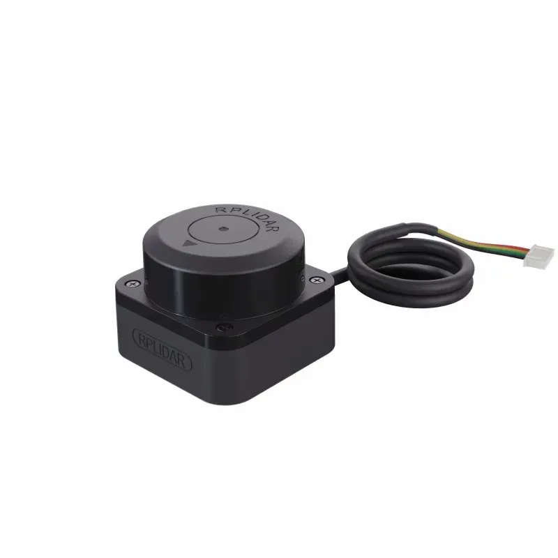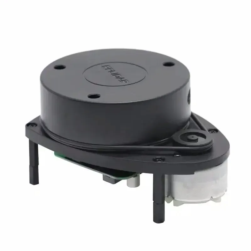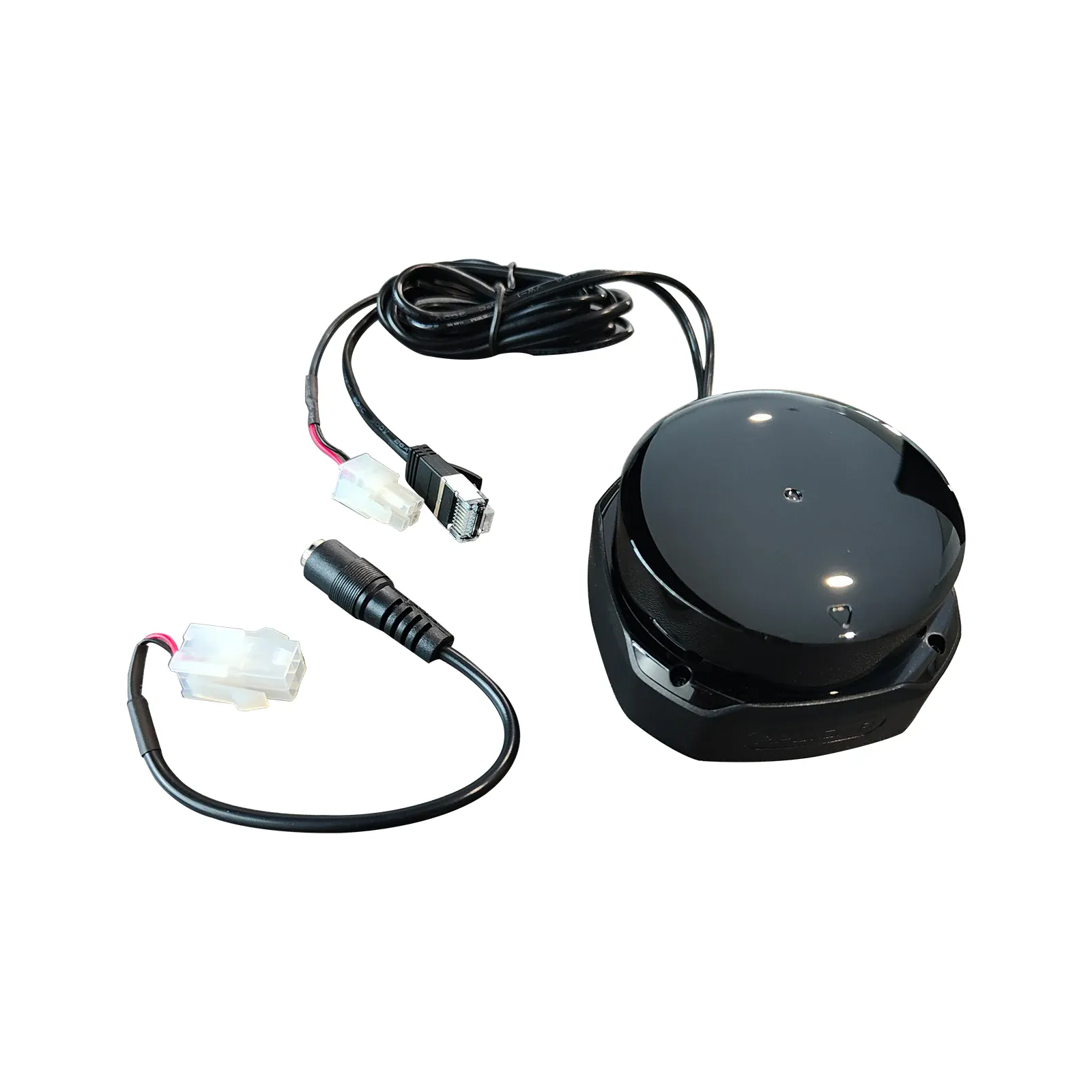
LiDAR SLAMTEC S2P
Measuring range (90% reflectivity): 0.05–50 m
USD · Volume pricing available
زمرے:
Certifications
Global Shipping 7-14 Days
DHL, FedEx, UPS, Air & Sea
Genuine Products
Authorized distribution
Export License Ready
ECCN, CO, CI, PL, EUS docs
24/7 Tech Support
Pre & post sales
Export Compliance
6A005AI confidence 65% · Export license may be required depending on destination and end-use.
Buyer Tier Benefits
Tier discounts stack with volume pricing. Automatically applied after your first order.
Buy the high-performance 2D lidar SLAMTEC RPLIDAR S2P for precise navigation and mapping of your robot or drone
Lidar RPLIDAR S2P from the Chinese brand SLAMTEC is a compact 2D scanner based on DTOF (Direct Time-of-Flight) technology, providing stable measurement accuracy at any distance. The S2P is the flagship of the S series, offering a maximum scanning range of up to 50 meters for work in the largest environments.
The device is designed for both indoor and outdoor use. It works effectively even in bright sunlight up to 80,000 lux. With a high rate of 32,000 measurements per second and IP65 protection, S2P will be a reliable tool for robot navigation, AGVs, mapping and security systems.
- Maximum scanning range up to 50 meters for working in large spaces.
- DTOF technology ensures consistent accuracy at all distances.
- High frequency of 32,000 measurements per second and 0.1125° resolution for detailed point clouds.
- Sealed IP65 housing protects against dust and moisture for use in industrial environments.
- Compact housing with a scanning area height of 18 mm for easy integration into any platform.
How does RPLIDAR S2P lidar work?
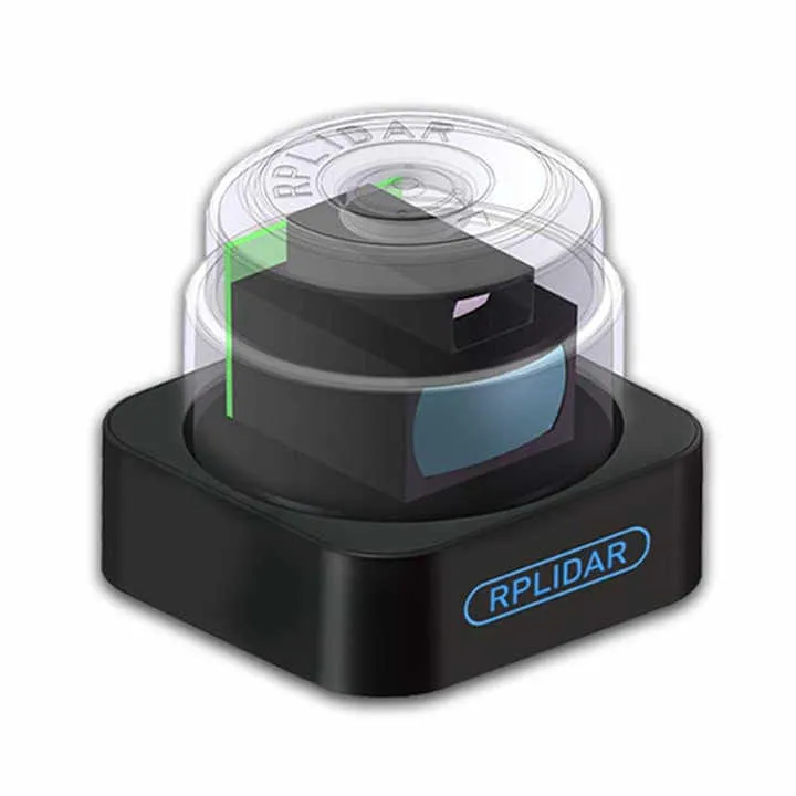
The S2P lidar uses direct laser time-of-flight (DTOF) technology. This guarantees consistent accuracy regardless of the distance to the object. The device emits a laser beam that is reflected from obstacles and, based on the signal return time, calculates the exact distance. The scanning mechanism provides a full 360-degree view, and the built-in processor generates a detailed map of the environment with an angular resolution of 0.1125 degrees.
Data is transmitted via the UART interface, which allows the lidar to be integrated into various control systems. The IP65 rated housing and scanning height of just 18mm makes the S2P indispensable for robots, AGVs and drones operating in harsh environments.
Technical characteristics and functionality
The RPLIDAR S2P model has a working range from 0.05 to 50 meters for objects with 90% reflectivity. For objects with low reflectivity (10%) the maximum range is 15 meters. The measurement accuracy reaches ±30 mm over the entire range, and the resolution is 13 mm.
Scanning frequency is 10 Hz with angular resolution 0.1125°. The lidar is equipped with a UART interface, has an IP65 protection class, operates at temperatures from -10 to +50°C and consumes less than 2 W. The device complies with laser safety class Class 1.
- Measuring range (90% reflectivity): 0.05–50 m
- Measuring range (10% reflectivity): 0.05–15 m
- Blind zone: 0.05 m
- Sampling rate: 32000 samples/s
- Scanning frequency (typical): 10 Hz
- Angular resolution (typical): 0.1125° / 0.12°
- Measuring accuracy: ±30mm
- Range resolution: 13 mm
- Tilt Angle (Scan Plane): ±1.5°
- Communication interface: UART (1 Mbps)
- Supply voltage: 5 V
- Power consumption: ≥ 2W
- Protection class: IP65
- Ambient light resistance: 80,000 lux
- Laser class: Class 1 (safe for eyes), 905 nm
- Operating temperature: -10°C ~ +50°C
- Dimensions: 77 × 77 × 38.85 mm (optical scanning area height: 18 mm)
- Weight: 190 g