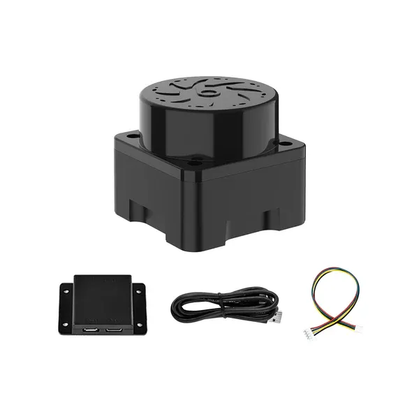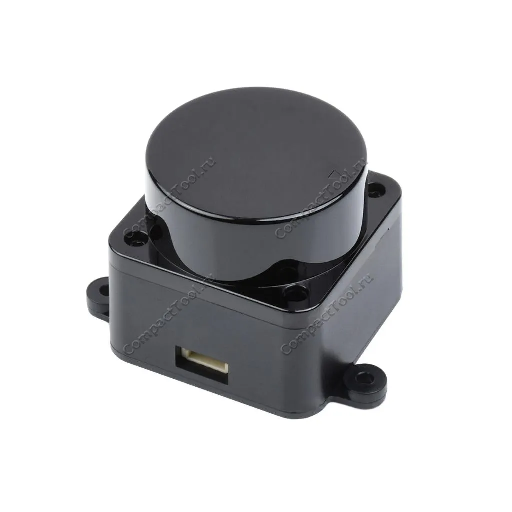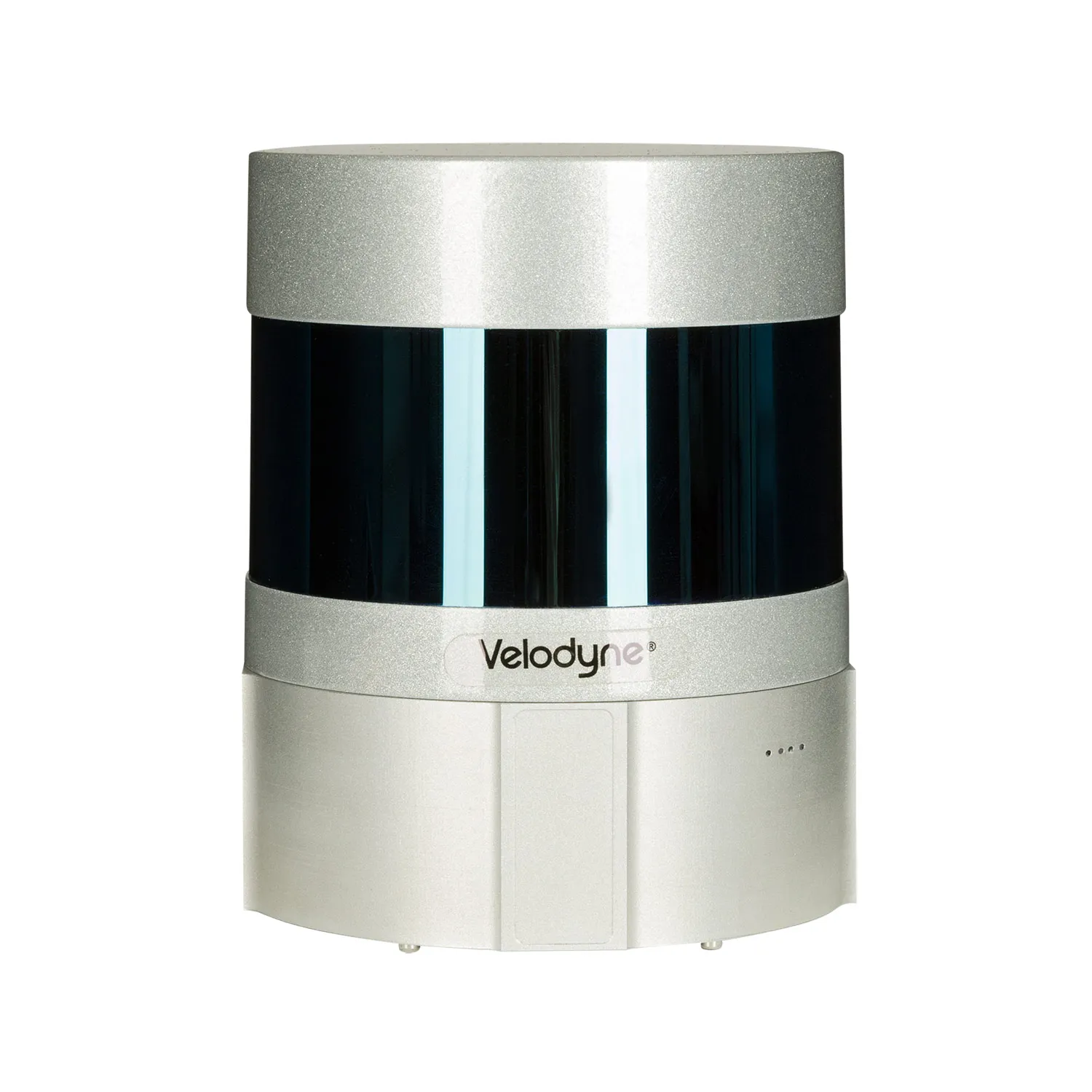
Laser scanner LiDAR 200 Ultra+
The lightest laser scanner model for drones on the market, the weight of the complete set is no more than 1.2 kg.
USD · Volume pricing available
Kategorie:
Certifications
Global Shipping 7-14 Days
DHL, FedEx, UPS, Air & Sea
Genuine Products
Authorized distribution
Export License Ready
ECCN, CO, CI, PL, EUS docs
24/7 Tech Support
Pre & post sales
Export Compliance
9A012AI confidence 75% · License required for certain destinations. License exceptions GBS/CIV may apply for allied nations.
Buyer Tier Benefits
Tier discounts stack with volume pricing. Automatically applied after your first order.
Order the LIDAR 200 Ultra+ laser scanner at an affordable price!
Need a detailed digital terrain model? The LIDAR 200 Ultra+ laser scanner is your solution. It creates accurate 3D maps from a drone. Ideal for tasks where relief details are important. Overcomes the limitations of traditional aerial photography. Works even at night or in difficult conditions. Take your geospatial projects to the next level.
Where can laser lidar be used?
-
Topographic survey and mapping: creation of high-precision DEMs (Digital Terrain Models) and DTMs (Digital Terrain Models).
-
Forestry: assessment of timber stock, height and density of crowns, detection of fellings.
-
Mining: monitoring of quarries, accurate calculation of rock mass volumes.
-
Construction and infrastructure: control of construction progress, modeling of objects, inspection of power lines.
-
Archeology and research. Detection of hidden objects, documentation of monuments.
-
GIS (Geographic Information Systems): Replenishment and updating of spatial databases.
-
Monitoring of power lines. Detection of dangerous proximity of vegetation to wires.
This scanner is indispensable where accurate elevation data is needed. He “sees” through the foliage to the ground. Get information that cameras cannot.
Key parameters
-
Highest precision. Up to 3 cm in height and 5 cm in plan (when flying at 50 m).
-
Long range. Effective scanning range up to 450 meters.
-
Scan speed. High pulse frequency up to 200,000 points per second.
-
Wide field of view. 70° scanning angle for maximum coverage.
-
IP54 protection. Reliable protection against dust and splashing water.
The optimal model for your drone
The main advantage is the incredible accuracy of the height data. Traditional photography can't do that. The scanner “pierces” the vegetation cover. You see the true surface of the ground under the canopies. This is critical for topography and forest management.
Saving time and resources is a significant plus. One flight replaces many ground measurements. Collect huge amounts of data quickly. Point cloud processing is simpler than routine methods.
Working in all light conditions is key. Scan at night, at dawn or in fog. Visibility does not affect the quality of the lidar. Your projects are no longer dependent on the weather.
Integration with DJI Matrice 300 RTK is a huge advantage. This platform provides stability and accurate georeferencing. Receive ready-to-use geodata. The system works out of the box.
Specifications
- Device weight: 1.1 kg
- Country of origin: Russia
- GNSS receiver type: L1/L2 multi-system
- Number of channels: 184
- Supported satellites: GPS, GLONASS, BeiDou, Galileo, SBAS
- Operating frequency, Hz: 10 Hz
- XYZ data accuracy, cm: 3-5 cm XYZ at a height of up to 80 m.