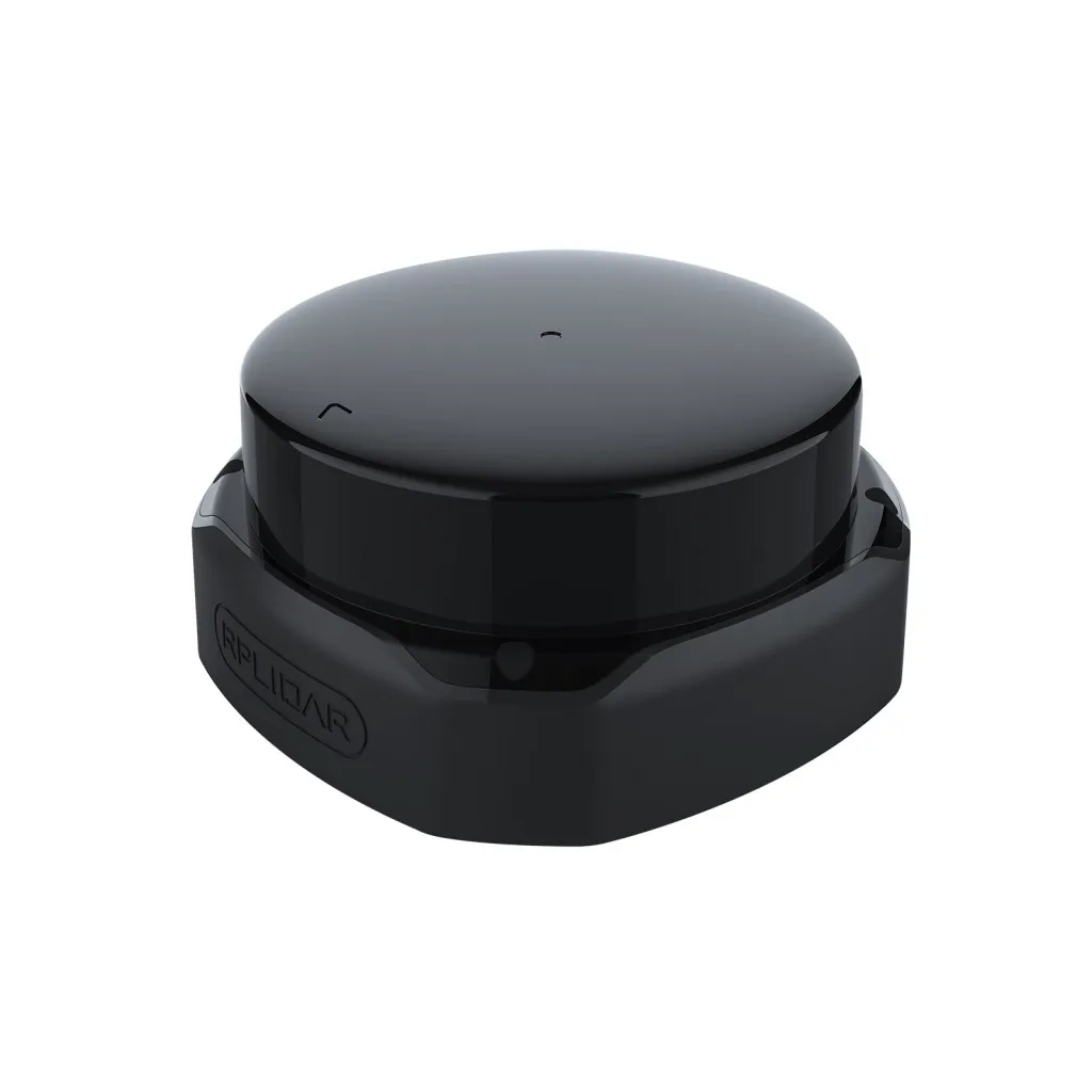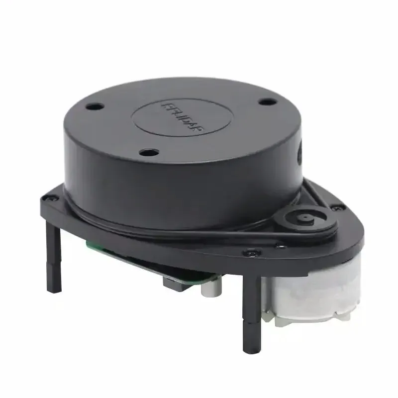
LiDAR Slamtec RPLIDAR LAM A1 M8
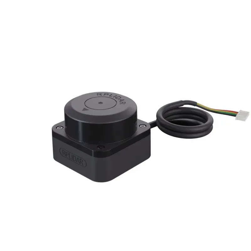
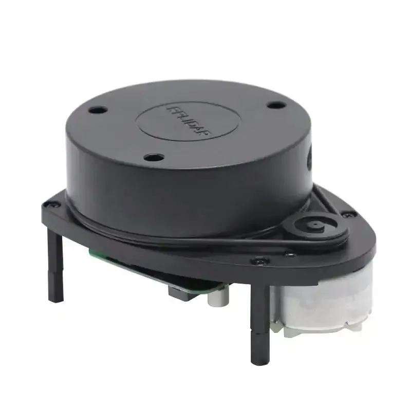
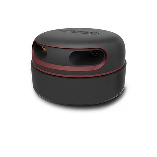
LiDAR SLAM currently is самым популярным and экономически эффективным лидаром in areas аппаратного ensure с открытым исходным кодом. he features небольшим размером and отличным quality, supports сканирование on 360 ° and measurement distance, CAN be used on персональном computer or Jetson NANO Raspberry Pi and other микроконтроллерах with the help of USB-cable for transmission data.
USD · Volume pricing available
Certifications
Global Shipping 7-14 Days
DHL, FedEx, UPS, Air & Sea
Genuine Products
Authorized distribution
Export License Ready
ECCN, CO, CI, PL, EUS docs
24/7 Tech Support
Pre & post sales
Export Compliance
6A005AI confidence 65% · Export license may be required depending on destination and end-use.
Buyer Tier Benefits
Tier discounts stack with volume pricing. Automatically applied after your first order.
Order LiDAR Slamtec RPLIDAR LAM A1 M8 — select основу автономной navigation!
LiDAR Slamtec RPLIDAR LAM A1 M8— this key sensor for автономных systems. he provides quadcopter feature see and understand окружение. device creates precise двухмерную cards пространства in реальном time. your drone сможет избегать obstacles and строить route. this основа for creation умных автономных platform.
Given LiDAR uses safe laser arm for сканирования. he измеряет distance up to site around oneself с high скоростью. Computer drone обрабатывает these data for navigation. system works without GPS and in помещении. you opens new features for интеллектуальных flights.
-
High scan rateFor плавной and детальной cards.
-
Measurement range up to 12 metersс millimeters accuracy.
-
Durable and lightweight aluminum caseFor авиамоделей.
-
Простота integrationс популярными автономными platform.
-
Stable operationAt вибрациях and in different conditions освещения.
As works laser scanner for navigation
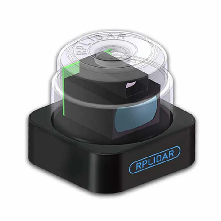
LiDAR вращается and излучает laser импульсы. these импульсы отражаются from окружающих предметов. sensor измеряет time return каждого отраженного signal. this allows exactly вычислить distance up to each points. so формируется point cloud on 360 degrees.
Полученные data are transmitted on бортовой computer. Специальное software analyzes these points in реальном time. Алгоритмы SLAM строят cards and определяют позицию drone in her. this information helps планировать безопасную траекторию движения. drone действует осознанно in незнакомой среде.
Technical Specifications
Measurement range is from 0.15 up to 12 meters. update rate data достигает 8000 выборок in seconds. angular resolution less одного degrees. device питается from 5In and потребляет approximately 1.5 W. speed вращения motor регулируется программно.
Functionality includes выдачу сырых data measurement. you gets углы and distance for each points скана. built-in драйвер compatible with ROS, RoboStudio. this standard in мире робототехники and автономных systems. setting perform through serial interface.
Body device made from aluminum сплава. he lightweight and protects оптику from пыли and легких impacts. Вращающаяся part сбалансирована for минимизации вибраций. Компактные dimensions allow install LiDAR on большинство drone. weight device not creates критичной load.
This model compatible with популярными полетными controller. she works with Pixhawk, Cube and other systems based on ArduPilot. you CAN create drones for inspection помещений. also this основа for автономных mapping platform. accuracy LiDAR above, чем at ультразвуковых or инфракрасных sensors.
Installation LiDAR requires внимания to монтажу. his need размещать с хорошим review on 360 degrees. cannot закрывать zones сканирования wire or рамой. vibration from motors CAN влиять on quality data. Use демпферы for insulation sensor from колебаний.
We предоставим множество учебных материалов and кодов, but also обучающие materials for роботов ROS. these лидары разделены on 6 various models, each from which has различную форму and specifications, and пользователи CAN выбирать in conformity with his требованиями.