LiDAR RPLIDAR S2E Slamtec
Range: 0.05–30 m (90% reflection); 0.05–10 m (10% reflection)
USD · Volume pricing available
カテゴリー:
Certifications
Global Shipping 7-14 Days
DHL, FedEx, UPS, Air & Sea
Genuine Products
Authorized distribution
Export License Ready
ECCN, CO, CI, PL, EUS docs
24/7 Tech Support
Pre & post sales
Export Compliance
6A005AI confidence 65% · Export license may be required depending on destination and end-use.
Buyer Tier Benefits
Tier discounts stack with volume pricing. Automatically applied after your first order.
Order the high-precision lidar RPLIDAR S2E Slamtec for your drone or robot!
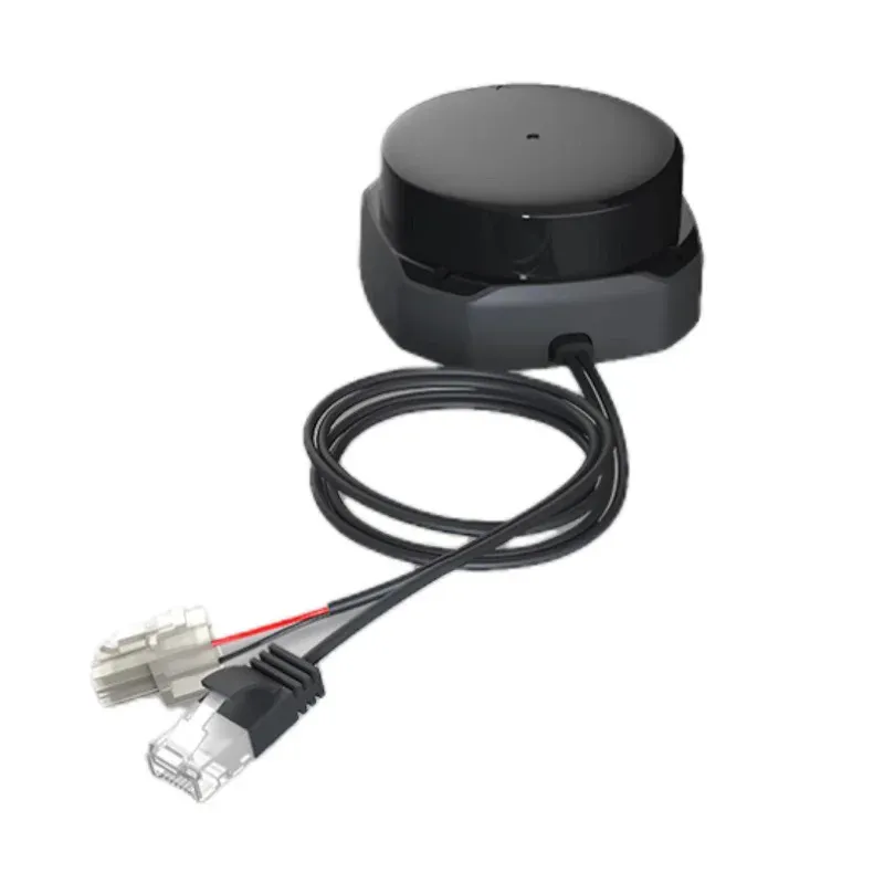
Get a reliable 2D mapping and navigation tool. Slamtec's RPLIDAR S2E lidar measures distances up to 30 meters at 32,000 points per second. The device operates on the optical principle and provides data via high-speed Ethernet. Compact design and low power consumption simplify integration. Choose a proven solution for autonomous systems.
-
Range up to 30 meters. Works effectively in open spaces and indoors.
-
High frequency 32,000 points per second. Creates a detailed map of the environment in real time.
-
Angular resolution 0.1125°. Provides high accuracy when scanning.
-
Ethernet UDP interface. Easy integration into industrial networks and flight controllers.
-
Small dead zone 5 cm. Allows you to detect obstacles close to the sensor.
Operating principle and key technologies
The RPLIDAR S2E lidar uses a laser rangefinder with a rotating mirror. It scans space 360 degrees and measures the time of flight of a light pulse. The received data is transmitted via Ethernet in the form of a point cloud. Angular resolution of 0.1125 degrees ensures smooth images even at long distances.
The measurement accuracy is ±30mm and the distance resolution is 13mm. The sensor has a small blind zone of only 5 cm, which is important for working in tight spaces. The 12V power supply and less than 2W consumption allow the lidar to be used with drone batteries. The 10/100 Mbit/s Ethernet interface is compatible with most on-board computers.
RPLIDAR S2E lidar is ideal for drones, ground robots and security systems. It is used for mapping, obstacle avoidance and autonomous navigation. Thanks to the Ethernet interface, it is easy to connect to Raspberry Pi, Jetson Nano or flight controllers.
Specifications
- Range: 0.05–30 m (90% reflection); 0.05–10 m (10% reflection)
- Blind zone: 0.05 m
- Sampling rate: 32,000 times/sec
- Scanning speed: 10 Hz
- Angular resolution: 0.1125°
- Field flatness: ±1.5°
- Accuracy: ±30mm
- Distance Resolution: 13mm
- Interface: Ethernet UDP (10/100 Mbit/s)
- Power: 12V
- Consumption: >2 W
- Protection: IP65
- Temperature: -10°C…+50°C.