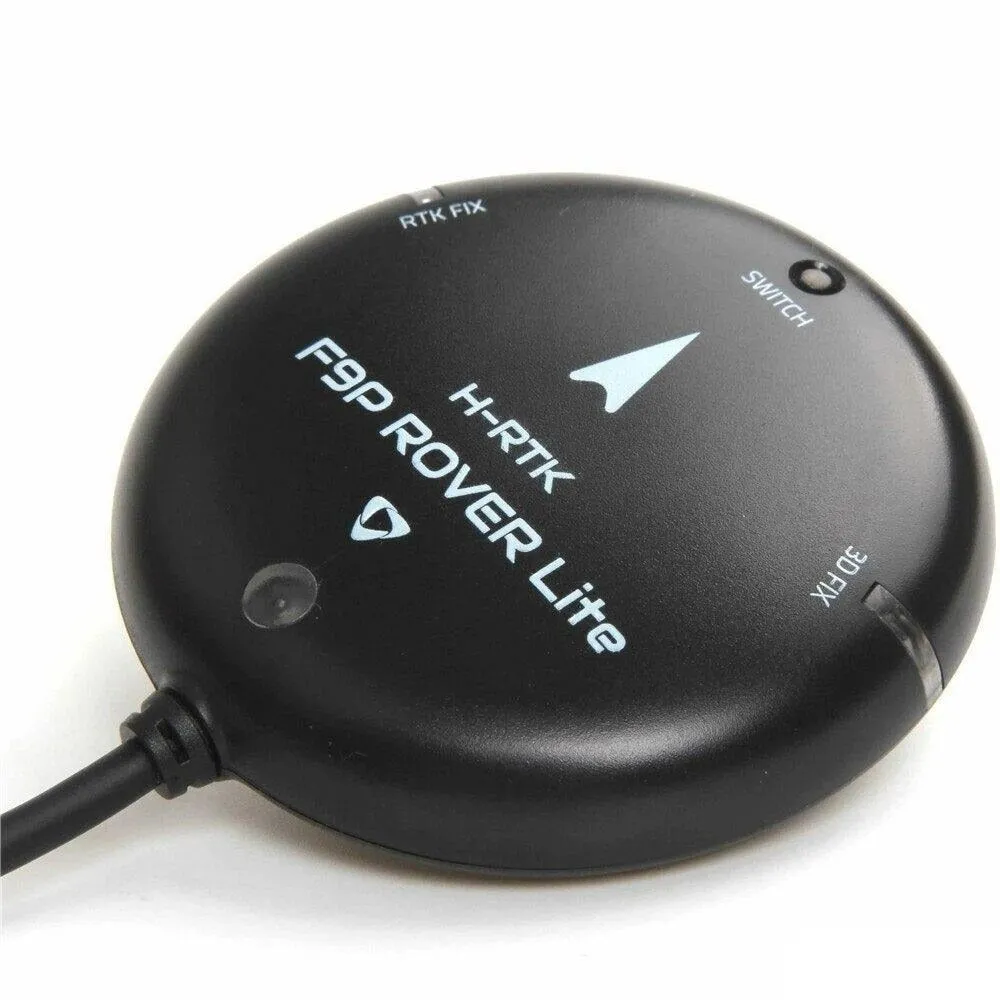
GNSS system Holybro H-RTK F9P Rover lite
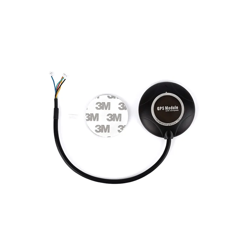
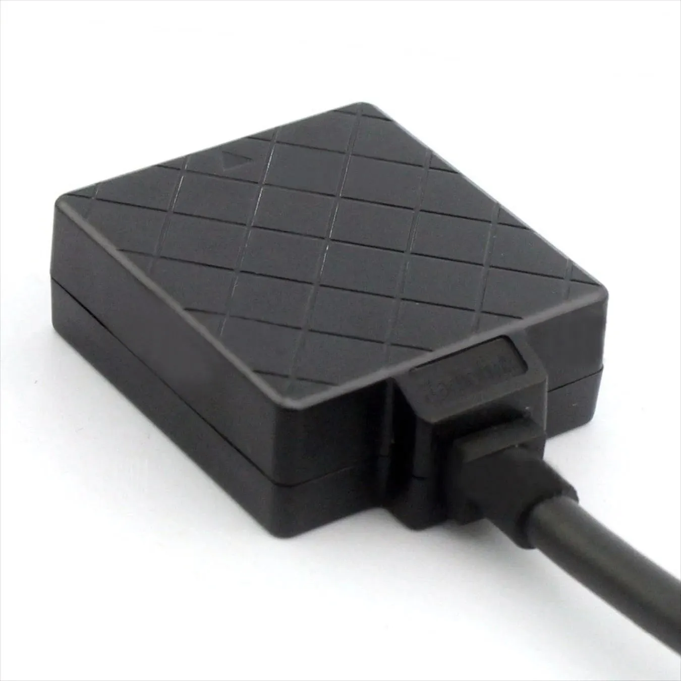
H-RTK F9P is the latest series of differential high-precision GNSS positioning systems from Holybro. This system provides multi-band RTK with fast time response and reliable performance, simultaneous reception of GPS, GLONASS, Galileo and BeiDou signals, and high data update rates for highly dynamic and high-volume applications with centimeter accuracy. The device uses a UBLOX F9P module, an IST8310 compass and a three-color LED indicator. In addition, it has a built-in safety switch for ease of use.
USD · Volume pricing available
Catégories:
Certifications
Global Shipping 7-14 Days
DHL, FedEx, UPS, Air & Sea
Genuine Products
Authorized distribution
Export License Ready
ECCN, CO, CI, PL, EUS docs
24/7 Tech Support
Pre & post sales
Export Compliance
7A003AI confidence 80% · NLR for most destinations. License required for D:1/D:5 countries.
Buyer Tier Benefits
Tier discounts stack with volume pricing. Automatically applied after your first order.
Order the Holybro H-RTK F9P Rover Lite GNSS system - unsurpassed accuracy!
GNSS system Holybro H-RTK F9P Rover Lite is a professional solution for precise navigation. This system ensures positioning of the quadcopter with an accuracy of centimeters. It is designed for geodesy, cartography and precision agriculture. You will be able to perform autonomous flights along specified routes. It is a key module for commercial and industrial drones.
This model uses RTK (Real Time Kinematic) technology. It significantly improves accuracy compared to standard GPS. The system corrects errors in satellite signals. This allows the drone to know its location with exceptional accuracy. Your missions will become reliable and repeatable.
-
Highest positioning accuracy up to 1-2 centimeters in RTK mode.
-
Supports multiple satellite systems GPS, GLONASS, Galileo, BeiDou.
-
Compact and lightweight body for easy integration on board the drone.
-
Fast initialization and recovery after signal loss.
-
Compatible with Pixhawk flight controllers and other systems.
How does an RTK system work for precision navigation?
The system consists of two main components - a base station and a rover. The base station is installed at a point with known coordinates. It calculates errors in satellite signals in real time. These corrections are then transmitted to the rover via radio. The drone-mounted rover applies corrections to its calculations.
Thus, the main sources of errors are eliminated. These include ionospheric delays and ephemeris errors. Positioning becomes incredibly accurate and stable. The drone can hover at a point or follow a complex trajectory. This opens up opportunities for precision flight automation.
The technical characteristics of the module are impressive. It uses the latest generation u-blox F9P chipset. The receiver operates on L1/L2 frequencies for all major constellations. Accuracy in offline mode is about 1.5 meters. In RTK mode with corrections, accuracy increases to 1-2 cm. Position update rate reaches 10 Hz for smooth movement.
Functionality
Functionality includes a built-in magnetometer and barometer. This helps determine the drone's orientation and altitude. The module supports several data output protocols: UBX, NMEA, RTCM. The power supply is from 3.3 to 5.5 V, the current consumption is about 40 mA. Integration with Pixhawk is via a standard DF13 connector. Configuration is done through the u-center or QGroundControl program.
The design of the device is protected from external influences. The board is coated with a compound for moisture protection and vibration resistance. The MMCX antenna is low profile and securely mounted. Low weight and dimensions do not burden the design of the drone. The case promotes efficient cooling of electronics.
To operate in RTK mode, you will need a correction source. This could be your own base station. It is also possible to use public networks of NTRIP amendments via the mobile Internet. The system is compatible with popular Holybro ground stations. This provides flexibility in organizing work processes.
The system is indispensable for professional tasks. It is used for aerial photography with the construction of orthophotomaps. Precision farming requires centimeter precision for spraying. Infrastructure inspection also benefits from precise positioning. Any mission where exact route repetition is important requires RTK.
Specifications
- Ublox F9P module
- Compass IST8310
- Sensitivity: –20.5 dBm
- Cold start: <29 sec.
- Hot start: <1 sec.
- Current consumption: less than 250mA
- Cable length: 26 cm.
- Diameter: 76 mm.
- Weight (with body): 106 g.