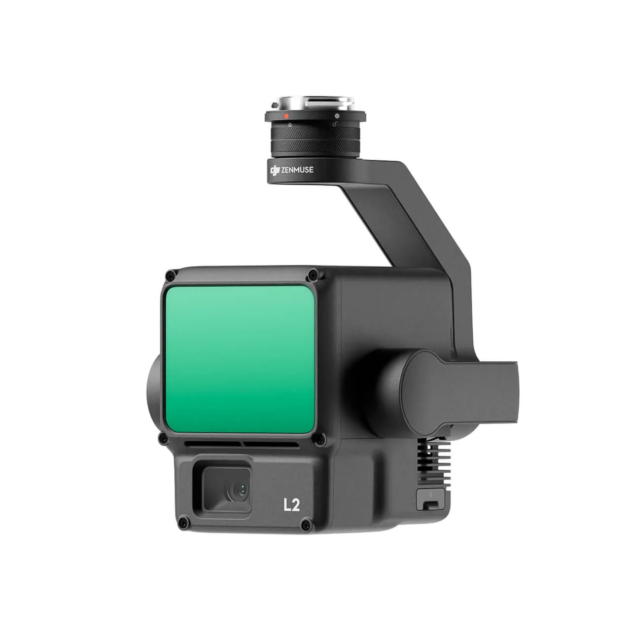
LiDAR DJI Zenmuse L2
Объединив GNSS and высокоточную system IMU собственной разработки, this solution provides accuracy by вертикали 4 cm and accuracy by горизонтали 5 cm.
USD · Volume pricing available
Certifications
Global Shipping 7-14 Days
DHL, FedEx, UPS, Air & Sea
Genuine Products
Authorized distribution
Export License Ready
ECCN, CO, CI, PL, EUS docs
24/7 Tech Support
Pre & post sales
Export Compliance
7A001AI confidence 70% · Export license may be required depending on destination and end-use.
Buyer Tier Benefits
Tier discounts stack with volume pricing. Automatically applied after your first order.
Order современный LiDAR DJI Zenmuse L2 by available price!
LiDAR DJI Zenmuse L2 — this before solution for аэрофотосъемки and картографирования. device integrates GNSS and высокоточную system IMU собственной разработки. this provides accuracy by вертикали 4 cm and by горизонтали 5 cm.
Zenmuse L2 ideal for профессиональных tasks. he used in construction, сельском хозяйстве and geodesy. device easily интегрируется с drone DJI Matrice 300 RTK and DJI Matrice 350 RTK.
Одним from ключевых advantages Zenmuse L2 is his versatility. he suitable for operation in various отраслях, including лесное хозяйство and инфраструктурный monitoring. device способно сканировать местность с high детализацией, even through густую растительность.
LiDAR provides fast получение data. this значительно сокращает time on выполнение проектов. thanks to high accuracy, Zenmuse L2 минимизирует ошибки at designed 3D-models and cards.
Простота use and integration
Zenmuse L2 easily configured and управляется through interface DJI Pilot. device automatically калибруется before каждым flight. this does his удобным even for пользователей с минимальным опытом.
LiDAR compatible with популярными программными solution for processing data. this allows fast анализировать полученную информацию. Zenmuse L2 also supports operation in mode реального time, that increases efficiency shooting.
Device and features
LiDAR Zenmuse L2 equipped лазерным сканером с high частотой measurement. he supports operation in complex conditions, including плохую видимость. built-in IMU provides stability data even at сильных вибрациях.
Device supports several modes сканирования. this allows адаптировать his under конкретные tasks. Zenmuse L2 also compatible with программным ensure DJI Terra for processing data.
LiDAR features компактными размерами and малым all. this does his удобным for транспортировки and use. Zenmuse L2 — reliable tool for professionals, требующих high accuracy and efficiency.
Technical Specifications
- Range акселерометра: ±6 g
- Range измерителя angles speed: ±300 дпс
- Accuracy вертикального positioning: RTK FIX: 1.5 cm + 1 стр/min
- Accuracy горизонтального positioning: RTK FIX: 1 cm + 1 PPM
- Accuracy отклонения from курса (RMS 1σ): V реальном time: 0.2°, постобработка: 0.05°
- Accuracy тангажа/крена (RMS 1σ): V реальном time: 0.05°, постобработка: 0.025°
- Update rate IMU: 200 Hz
- Camera RGB
- Видеоформат: MP4 (MPEG-4 AVC/H.264)
- Shutter speed
- Number выдержек: 200000
- Range ISO: Video: 100-6400 Photo: 100-6400
- Max. video bitrate: 4K: 85 Mbps — FHD: 30 Mbps
- Max. size images: 5280×3956 (4:3)
- Image Sensor: 4/3 CMOS, effective number pixels: 20 MP
- Lens: Field of view: 84° Equivalent формата: 24 mm aperture: f/2.8–f/11 Points фокусировки: from 1 m up to ∞ (с автофокусировкой)
- Supported файловые system: exFAT
- Mode фотосъемки: Одиночный снимок: 20 MP by time: 20 MP JPEG Интервал by time: 0.7/1/2/3/5/7/10/15/20/30/60 с RAW/JPEG + RAW Интервал by time:
- 2/3/5/7 /10/15/20/30/60 с
- Image format: JPEG/DNG (RAW)
- Лидарный rangefinder: Length волны лазера: 905 Nm
- Min. range detection:3 m
- Power лазера: 46.718 W
- Dimensions: 155×128×176 mm (Д×Ш×In)
- Водонепроницаемость: IP54
- Mass: 905±5 g