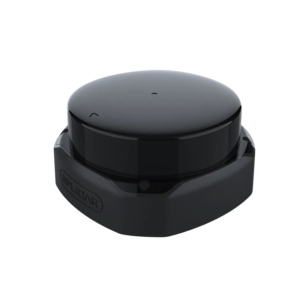
LiDAR Slamtec RPLIDAR SLAM A3
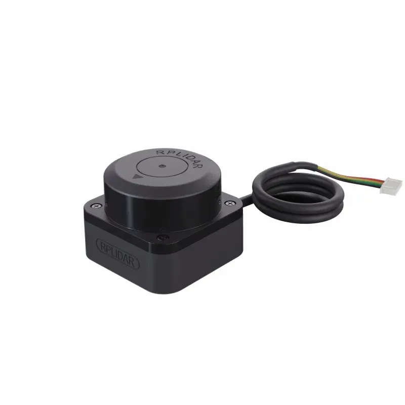
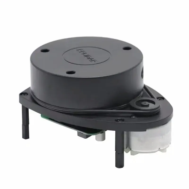
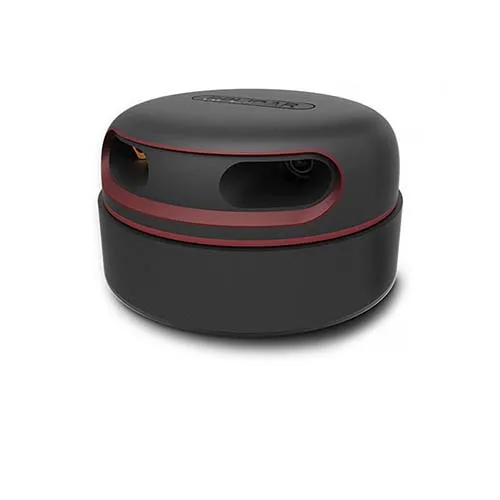
LiDAR SLAM currently is самым популярным and экономически эффективным лидаром in areas аппаратного ensure с открытым исходным кодом. he features небольшим размером and отличным quality, supports сканирование on 360 ° and measurement distance, CAN be used on персональном computer or Jetson NANO Raspberry Pi and other микроконтроллерах with the help of USB-cable for transmission data.
USD · Volume pricing available
Certifications
Global Shipping 7-14 Days
DHL, FedEx, UPS, Air & Sea
Genuine Products
Authorized distribution
Export License Ready
ECCN, CO, CI, PL, EUS docs
24/7 Tech Support
Pre & post sales
Export Compliance
6A005AI confidence 65% · Export license may be required depending on destination and end-use.
Buyer Tier Benefits
Tier discounts stack with volume pricing. Automatically applied after your first order.
Order автономность and view for your drone — LiDAR Slamtec RPLIDAR SLAM A3!
V мире автономных роботов and интеллектуальных UAV, where device must see and understand пространство, ключевую роль играют system компьютерного view. LiDARSlamtec RPLIDAR SLAM A3— this not just sensor, but полноценная platform for одновременной локализации and построения cards (SLAM).
This system gives your quadcopter способность ориентироваться in помещениях or in conditions отсутствия GPS. buy this powerful tool for creation автономного drone you CAN in internet-store AEGISKY.
-
Полноценная platform SLAMFor одновременного построения cards and navigation.
-
High scan rate and accuracyFor построения детализированных cards окружения.
-
Range action up to 25 metersFor operation in больших помещениях and on открытых площадках.
-
Compact and lightweight дизайнFor installation on various типы drone.
-
Удобный SDK and support ROSFor упрощения integration in your проекты.
Суть operation and принцип SLAM
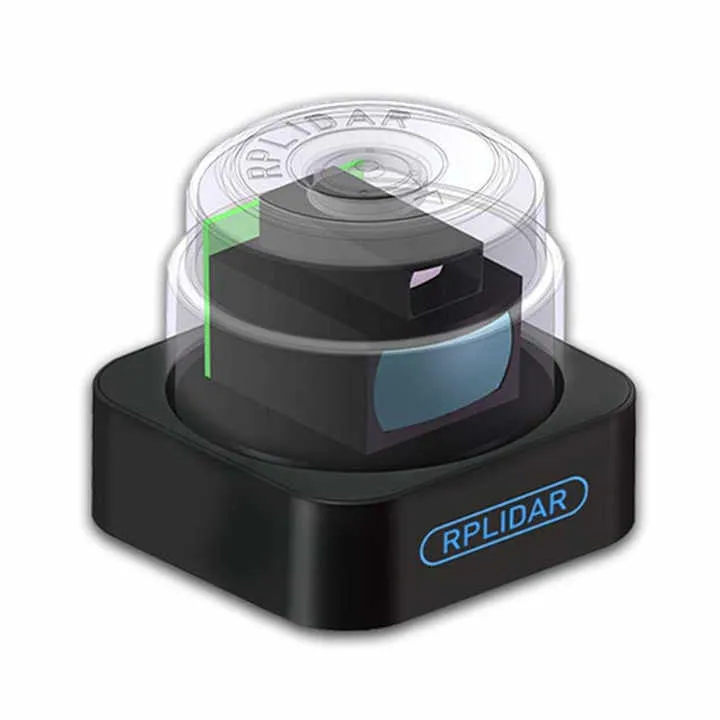
LiDARSlamtec RPLIDAR SLAM A3— this active scanner окружающего пространства. his вращающаяся головка испускает невидимые laser arms. these arms отражаются from окружающих site and return to приемнику sensor. Измеряя time прохождения импульса there and back, system с high accuracy вычисляет distance up to each points.
Десятки тысяч such measurement for one оборот формируют point cloud. this подробная card окружения in двух measurement. Key feature system —SLAM (Simultaneous Localization and Mapping). this комплексный алгоритм. he not only строит cards неизвестной среды in реальном time. he also exactly определяет местоположение self drone inside this cards.
Technical specifications and application in UAV
Technical parameters LiDAR do his применимым on практике. measurement range is from 0.15 up to 25 meters. frequency дискретизации достигает 16000 выборок in seconds. field of view — full 360 degrees, that исключает мертвые zones by горизонтали. system provides high angles разрешающую способность.
For power required source 5In. Коммуникация с бортовым computer drone carried out through interface USB or UART. compatibility with Robot Operating System (ROS) is огромным advantage. this standard in робототехнике. he allows fast интегрировать LiDAR in ready стеки автономной navigation.
Main sphere application on drone — автономные flights in помещениях. this inspection складов, цехов or строительных площадок. drone с лидаром CAN independently строить cards and move by her. system идеальна for precise navigation in conditions отсутствия GPS. for example, inside зданий, under мостами or in густом лесу.
LiDAR provides reliable detection and obstacle avoidance obstacles. this critical important for safety flights in complex среде. also he used for tasks precise картографирования and 3D-реконструкции помещений. Алгоритмы SLAM allow drone запоминать пройденный track and возвращаться in точку старта.
For operation required бортовой computer. for example, Raspberry Pi or NVIDIA Jetson. on нем will be launched software SLAM (for example, based on ROS). LiDAR connects to him, but computer интегрируется с полетным controller. this allows transmit команды on position hold or движение by route.
We предоставим множество учебных материалов and кодов, but also обучающие materials for роботов ROS. these лидары разделены on 6 various models, each from which has различную форму and specifications, and пользователи CAN выбирать in conformity with his требованиями.