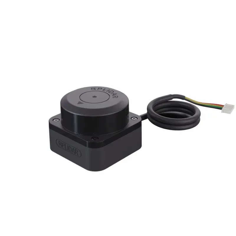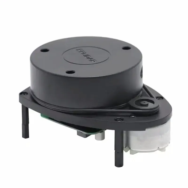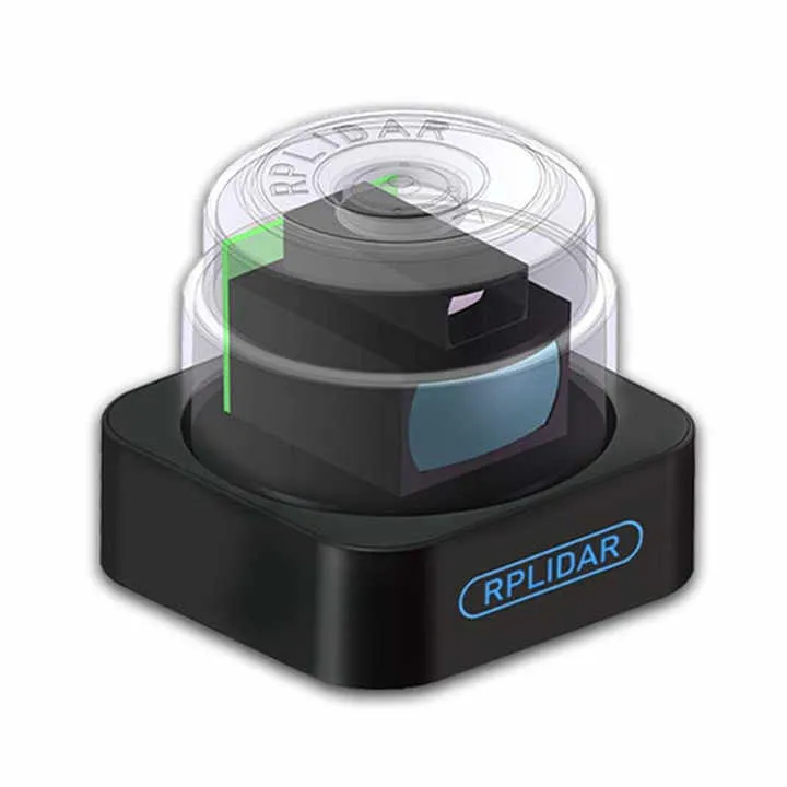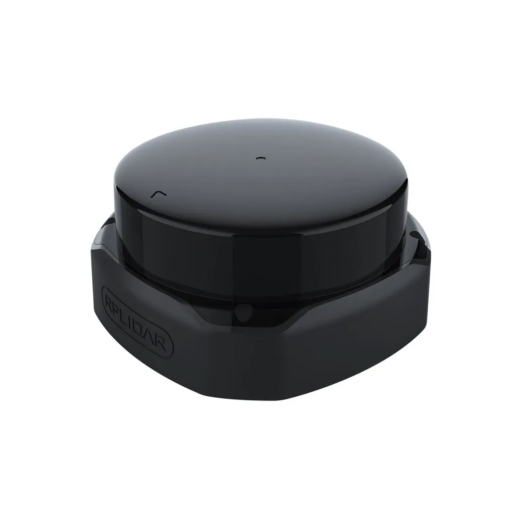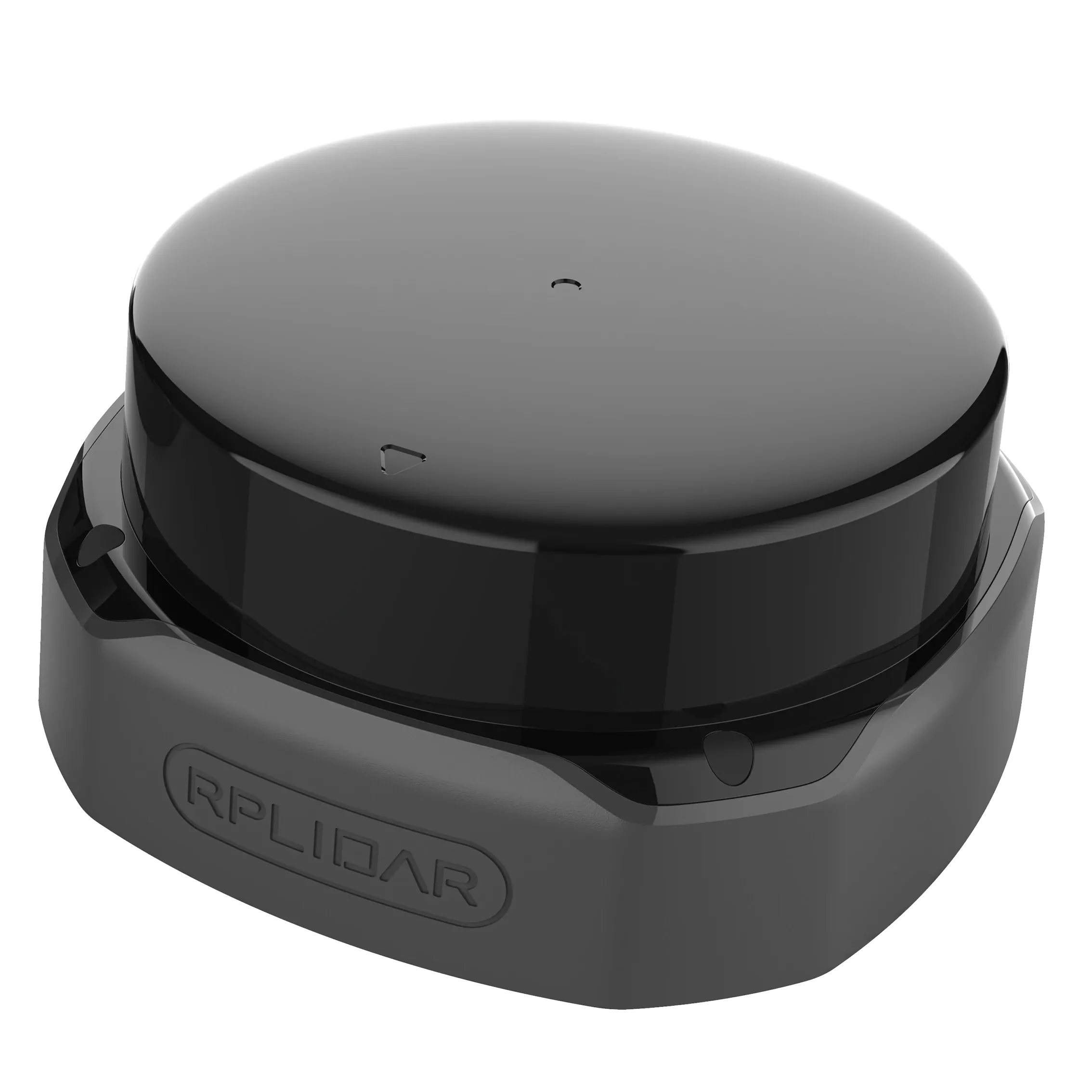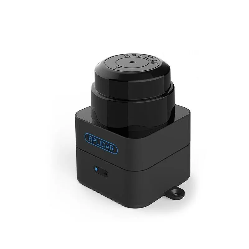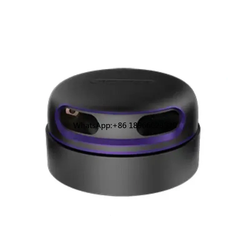
LiDAR Slamtec RPLIDAR SLAM A3
SLAM lidar is currently the most popular and cost-effective open source hardware lidar. It has small size and excellent quality, supports 360° scanning and distance measurement, can be used on personal computer or Jetson NANO Raspberry Pi and other microcontrollers via USB data cable.
USD · Volume pricing available
Kategorien:
Certifications
Global Shipping 7-14 Days
DHL, FedEx, UPS, Air & Sea
Genuine Products
Authorized distribution
Export License Ready
ECCN, CO, CI, PL, EUS docs
24/7 Tech Support
Pre & post sales
Export Compliance
EAR99AI confidence 90% · NLR — No license required. Standard end-use statement recommended.
Buyer Tier Benefits
Tier discounts stack with volume pricing. Automatically applied after your first order.
Order autonomy and vision for your drone - Slamtec RPLIDAR SLAM A3 lidar!
In the world of autonomous robots and intelligent drones, where the device must see and understand space, computer vision systems play a key role. Lidar Slamtec RPLIDAR SLAM A3 is not just a sensor, but a full-fledged platform for simultaneous localization and mapping (SLAM).
This system gives your quadcopter the ability to navigate indoors or in GPS-free environments. You can buy this powerful tool for creating an autonomous drone in the COPTERPARTS online store.
-
Full-fledged SLAM platform for simultaneous mapping and navigation.
-
High scanning frequency and accuracy to build detailed maps of the environment.
-
Range up to 25 meters for work in large rooms and open areas.
-
Compact and lightweight design for installation on various types of drones.
-
Convenient SDK and ROS support to simplify integration into your projects.
The essence of the work and the SLAM principle
Lidar Slamtec RPLIDAR SLAM A3 is an active scanner of the surrounding space. Its rotating head emits invisible laser beams. These rays are reflected from surrounding objects and returned to the sensor receiver. By measuring the round trip time of the pulse, the system calculates the distance to each point with high accuracy.
Tens of thousands of such measurements per revolution form a point cloud. This is a detailed map of the environment in two dimensions. Key feature of the system - SLAM (Simultaneous Localization and Mapping). This is a complex algorithm. It not only builds a map of an unknown environment in real time. It also pinpoints the location of the drone itself within that map.
Technical characteristics and application in UAVs
The technical parameters of the lidar make it applicable in practice. The measurement range is from 0.15 to 25 meters. Sampling rates reach up to 16,000 samples per second. The viewing angle is a full 360 degrees, eliminating horizontal blind spots. The system provides high angular resolution.
Power supply requires a 5V source. Communication with the drone’s on-board computer is carried out via the USB or UART interface. Compatibility with the Robot Operating System (ROS) is a huge advantage. This is a standard in robotics. It allows lidar to be quickly integrated into pre-built autonomous navigation stacks.
The main application for drones is autonomous indoor flights. This is an inspection of warehouses, workshops or construction sites. A drone with lidar can independently build a map and navigate around it. The system is ideal for accurate navigation in GPS-free environments. For example, inside buildings, under bridges or in dense forests.
Lidar provides reliable obstacle detection and avoidance. This is critical to flight safety in a complex environment. It is also used for tasks of precise mapping and 3D reconstruction of premises. SLAM algorithms allow the drone to remember the path traveled and return to the starting point.
An on-board computer is required for operation. For example, Raspberry Pi or NVIDIA Jetson. It will run SLAM software (for example, based on ROS). The lidar is connected to it, and the computer is integrated with the flight controller. This allows you to transmit commands to hold a position or move along a route.
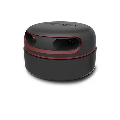
We will provide many tutorials and codes and tutorials for ROS robots. These lidars are divided into 6 different models, each with different shapes and characteristics, which users can choose according to their requirements.