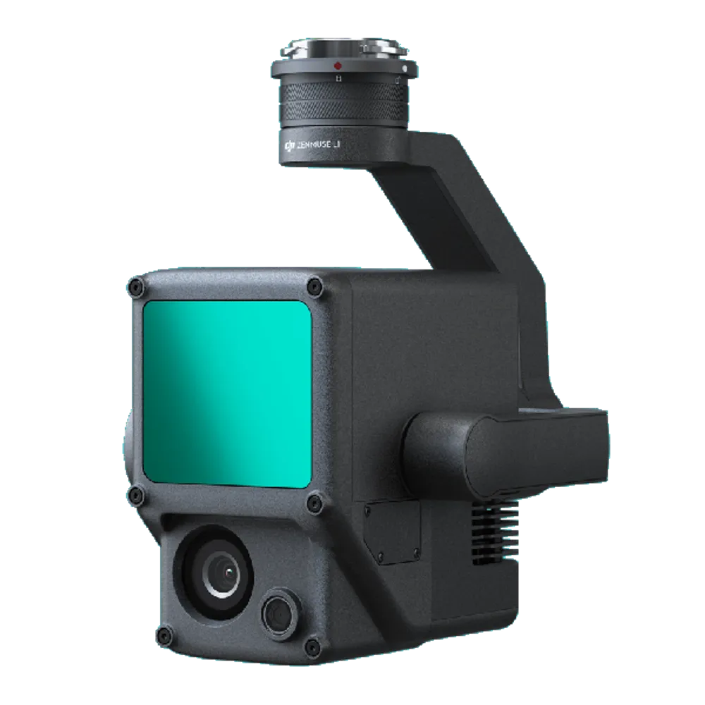
DJI Zenmuse L1 Gimbal
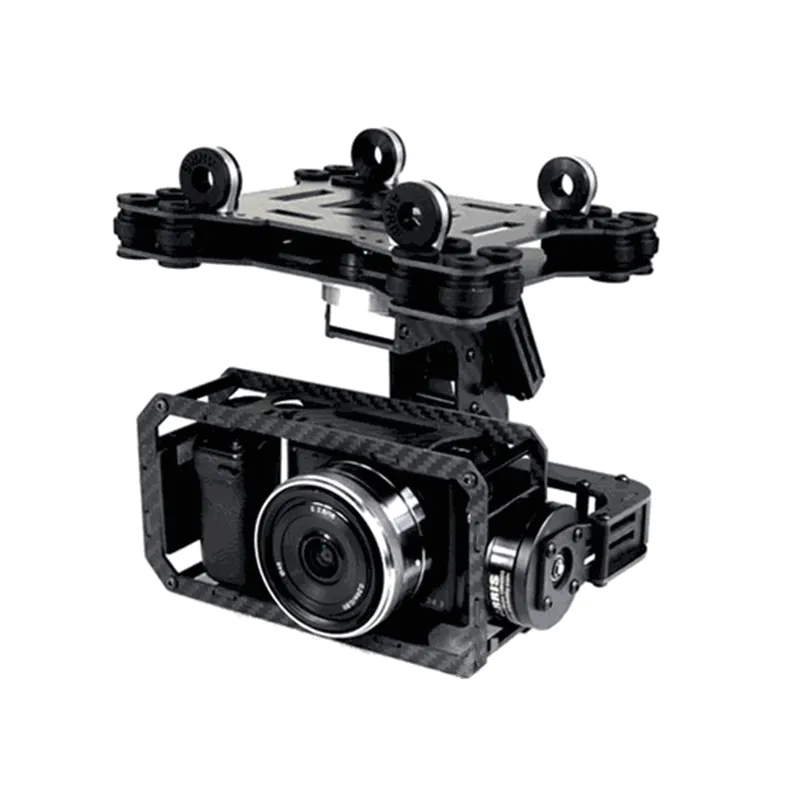
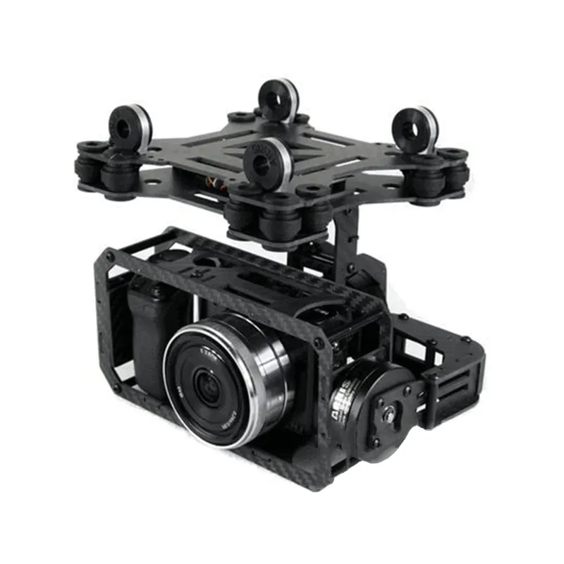
The Zenmuse L1 system combines the latest and greatest technologies: a Livox Lidar module, a high-precision IMU module and a powerful 1-inch CMOS camera. And it all works together with DJI's 3-axis stabilization system.
USD · Volume pricing available
Kategorien:
Certifications
Global Shipping 7-14 Days
DHL, FedEx, UPS, Air & Sea
Genuine Products
Authorized distribution
Export License Ready
ECCN, CO, CI, PL, EUS docs
24/7 Tech Support
Pre & post sales
Export Compliance
7A001AI confidence 70% · Export license may be required depending on destination and end-use.
Buyer Tier Benefits
Tier discounts stack with volume pricing. Automatically applied after your first order.
Order DJI Zenmuse L1 lidar at a competitive price
In its “filling” this device combines several innovative and high-quality technologies. The three-axis gimbal houses the Livox Lidar and IMU modules, as well as a premium CMOS camera, in a compact body. Due to this, the device is able to effectively perform the tasks of scanning the area and creating accurate 3D models. Buying a DJI Zenmuse L1 lidar is easy! Place your order on our website right now. We have built logistics in such a way that you receive your goods in the shortest possible time.
Key features of the model
Let's look at the main components of the device. So, it has a CMOS camera with a resolution of 20 MP. It provides color rendering data for the LiDAR module. The 3-axis stabilization system ensures smooth and clear videos and photos. The device is distinguished by its efficiency. In one flight it explores up to 2 square kilometers. At the same time, the accuracy of the work is impressive: 5 centimeters vertically and 10 centimeters.
Design features and application specifics
The lidar is compact in size and light in weight. Due to this, it does not weigh down the drone and has minimal impact on its maneuverability. The model is compatible with the Matrice 300 RTK quadcopter. Integration with unmanned aerial vehicles allows the device to be used to scan hard-to-reach areas.
The device is able to function effectively in the harshest conditions. So, it will successfully cope with both high and low temperatures. In addition, it can also be used in humid and foggy environments. This allows you to expand the possibilities of using the device.
Specifications
- Dimensions: 152 × 110 × 169 mm;
- Weight: 930±10 g
- Food:
Typical: 30 W;
Maximum: 60 W;
- IP Security Rating: IP54;
- Supported drone: Matrice 300 RTK;
- Operating temperature range:
from −20 to 50 °C;
0 to 50°C (using standard mapping camera);
- Storage temperature range: -20° to 60° C (-4° to 140° F);
System performance:
- Recognition range: 450 m at 80% reflectivity, 0 kilolux;
- 190 meters at 10% reflectivity, 100 kilolux;
Point frequency:
- Single return: 240,000 points/s;
- Multiple returns: 480,000 points/s;
System accuracy (RMS 1σ)1:
- horizontal: 10 cm at 50 m;
- Vertical: 5 cm at 50 m;
- Real-time point cloud coloring models: True color; reflectivity coloring; coloring according to height; distance;
- Lidar:
- Distance accuracy (RMS 1σ)2: 3 cm at 100 m;
- Maximum supported returns: 3;
Scan modes:
- Non-repeating scan pattern, repeating scan pattern;
Field of View:
- Non-repetitive scanning pattern: 70.4° (horizontal) × 77.2° (vertical);
- Repeat scan pattern: 70.4°(horizontal) × 4.5°(vertical);
- Laser Safety: Class 1(IEC 60825-1:2014) (Eye Safety);
Inertial navigation system:
- IMU refresh rate: 200 Hz;
- Accelerometer range: ±8 g;
- Speed sensor angular range: ±2000 dps;
- Turning accuracy (RMS 1σ)1;
- Real time: 0.3°, post-processing: 0.15°;
- Tilt/rotation accuracy (RMS 1σ)1;
- Real time: 0.05°, post-processing: 0.025°;
Auxiliary Vision Positioning Sensor:
- Resolution: 1280×960;
- FIELD OF VIEW: 95°;
Course camera for shooting:
- Sensor size: 1 inch;
- Pixel resolution: 20 MP;
- Photo size: 5472×3078 (16:9); 4864×3648 (4:3); 5472×3648 (3:2);
- Focal Length: 8.8mm/24mm (equivalent);
Shutter speed:
- Mechanical shutter speed: 1/2000 - 8 s;
- Electronic shutter speed: 1/8000 - 8 s;
ISO:
- Video: 100 – 3200 (auto), 100 – 6400 (manual);
- Photo: 100 - 3200 (auto), 100 - 12800 (manual);
- Aperture range: f/2.8 - f/11;
- Supported file system: FAT (≤32 GB); exFAT (>32 GB);
- Photo format: JPEG;
- Video format: MOV, MP4;
- Video resolution: H.264, 4K: 3840×2160 30p;
Gyro stabilizer:
- Stabilized system: 3 axes (tilt, pan, pan);
- Angular vibration range: 0.01°;
- Stand: Removable DJI SKYPORT;
Mechanical range:
- Tilt: -120° to +30°; Panning: ±320°;
Operating modes:
- Accompaniment/Free/Centering;
- Data storage;
- Storage of raw data;
- Photo/IMU/GNSS/point cloud/calibration data storage;
Supported microSD cards:
- microSD: Sequential write speed of 50 MB/s or higher and UHS-I Speed Grade 3 or higher; Maximum capacity: 256 GB;
Recommended microSD cards:
- SanDisk Extreme 128GB UHS-I Speed Grade 3;
- SanDisk Extreme 64GB UHS-I Speed Grade 3;
- SanDisk Extreme 32GB UHS-I Speed Grade 3;
- SanDisk Extreme 16GB UHS-I Speed Grade 3;
- Lexar 1066x 128GB U3;
- Samsung EVO Plus 128GB.
The main advantage of Zenmuse L1 is the ability to obtain accurate, high-resolution 3D terrain models. This makes it an ideal tool for use in surveying, cartography, engineering communications and construction. The availability of accurate data about the terrain and objects on it makes the device an indispensable tool for creating digital twins of the real world.