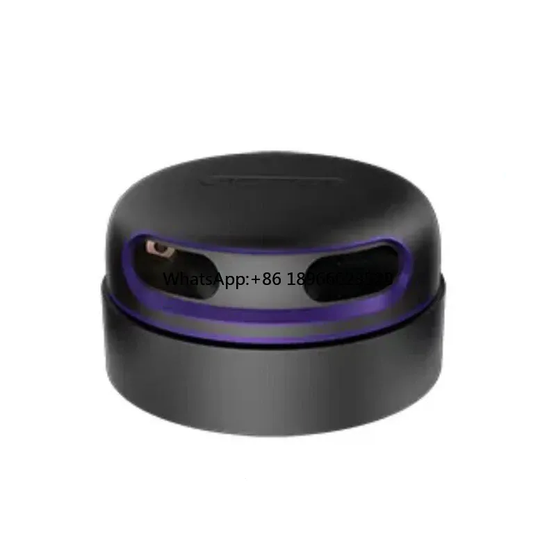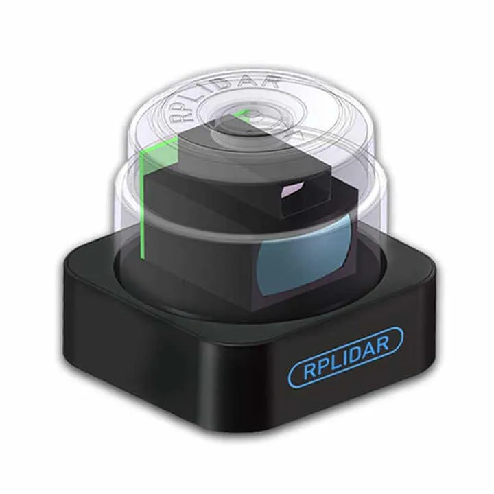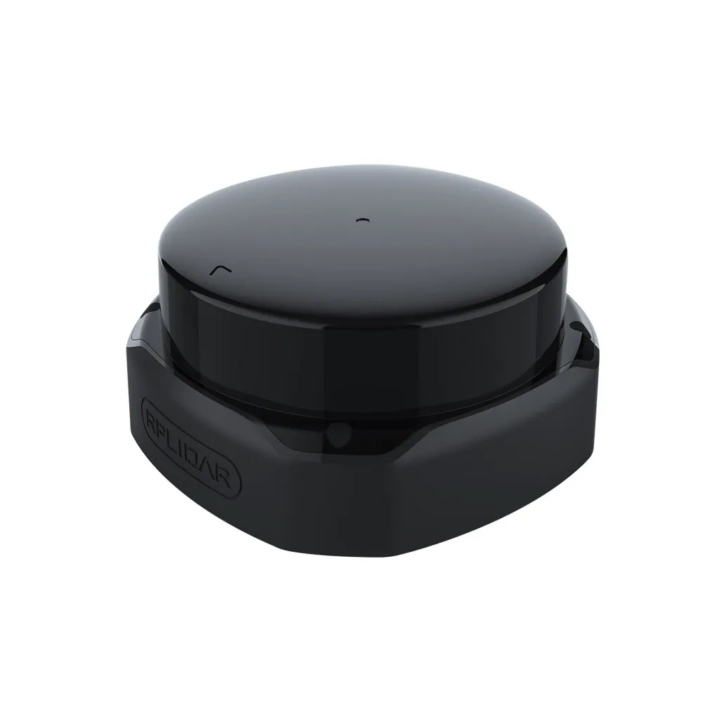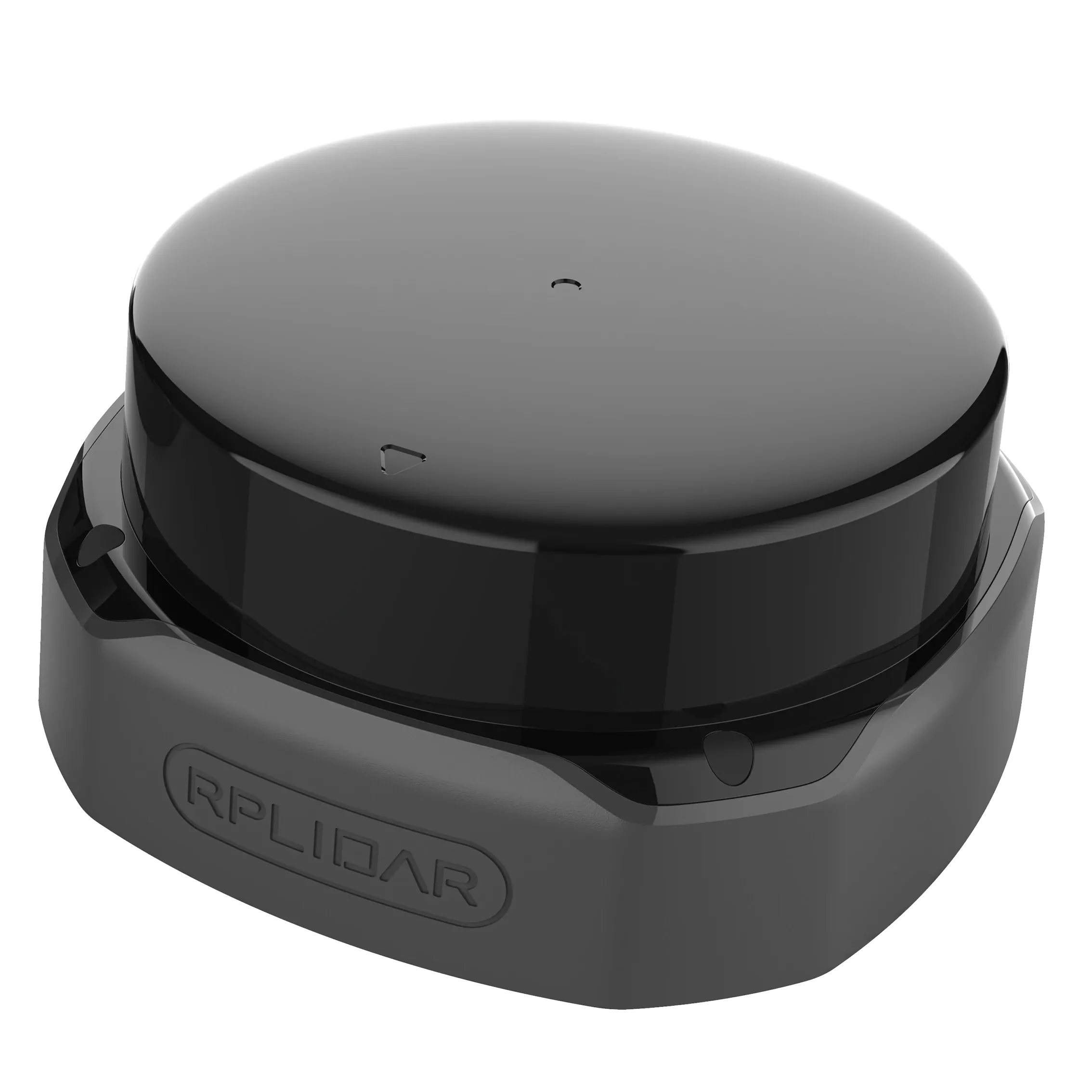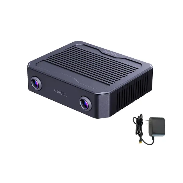
LiDAR SLAMTEC RPLIDAR Aurora S
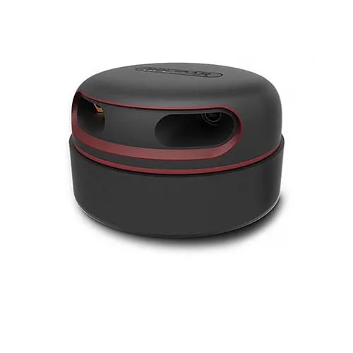
SLAMTEC RPLIDAR Aurora S is the next generation integrated AI spatial perception system from SLAMTEC's Insight series, combining visual perception, inertial navigation and AI-VSLAM technology.
USD · Volume pricing available
Categories:
Certifications
Global Shipping 7-14 Days
DHL, FedEx, UPS, Air & Sea
Genuine Products
Authorized distribution
Export License Ready
ECCN, CO, CI, PL, EUS docs
24/7 Tech Support
Pre & post sales
Export Compliance
7A001AI confidence 70% · Export license may be required depending on destination and end-use.
Buyer Tier Benefits
Tier discounts stack with volume pricing. Automatically applied after your first order.
Buy the innovative SLAMTEC Aurora S spatial awareness system for your robot or drone
SLAMTEC Aurora S is not just a lidar, but a fully integrated AI spatial perception system. It combines 2D LiDAR, binocular vision, 6-axis IMU and powerful AI processor in one compact module. The device works out of the box and does not require external dependencies. Aurora S delivers highly accurate 3D mapping and six-degree-of-degree (6DOF) positioning for both indoor and outdoor applications.
The SLAMTEC brand is a world leader in robotic navigation and SLAM solutions. The company has been developing innovative lidars and algorithms for more than ten years. Aurora S is the result of deep integration of lidar, vision, inertial navigation and deep learning. This is the industry's first product solution that uses deep neural networks for navigation..
- Mapping area exceeds 1,000,000 m² to cover vast areas.
- Centimeter-level positioning accuracy for flawless navigation.
- Integration of lidar, stereo cameras and IMU for complete spatial awareness.
- VSLAM's own AI engine recognizes objects and segments the scene in real time.
- Compact size of 500 grams for installation on any mobile platforms.
How the Aurora S spatial awareness system works
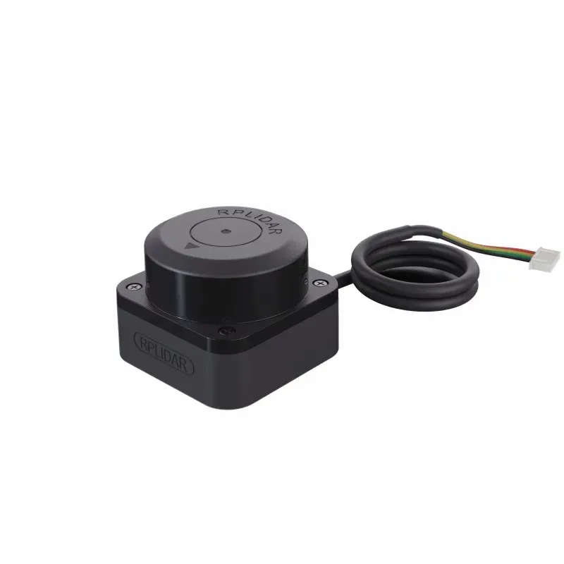
The system combines two sensor modules: binocular cameras with global shutter and optional external lidar RPLIDAR S2 or S3. Built-in AI engine based on deep learning processes data in real time. Aurora S creates a dense depth map, recognizes objects and builds a 3D map with centimeter accuracy. The system supports hot-swappable external lidar and synchronization with GPS/RTK and odometry.
Technical characteristics and functionality
The maximum mapping area exceeds 1,000,000 m². Global repositioning accuracy is ±5 cm. Cameras: binocular with a viewing angle of 180° and a frame rate of 15 Hz. The sampling rate of the external lidar reaches 32 kHz. The system recognizes objects in 18 outdoor and 80 indoor scenarios. Operating temperature ranges from -20 to +50°C. Typical power consumption without lidar is 10 W.
The system supports SDK for C++, ROS1/ROS2 and Python for rapid development. Aurora S is ideal for embodied intelligence, industrial automation, digital twins and autonomous driving.
- Maximum mapping area: >1,000,000 m²
- Repositioning: Support full repositioning, ±5cm accuracy
- Map management: support continued mapping, loading and saving
- Mapping and localization mode: AI deep learning VSLAM (main), optional LiDAR fusion
- Multi-sensor synchronization: hardware synchronization
- Camera: stereo fisheye, 60mm base, FOV 180°, global shutter, RGB
- Camera Frame Rate: 15Hz typical (10/30Hz configurable)
- Dense depth camera: end-to-end deep learning, >90% detection rate, works in high light and low textures
- AI object recognition: 18 outdoor + 80 indoor scenarios, customizable on request
- Power consumption: 10 W (typical, without LiDAR)
- Operating temperature: -20°C ~ +50°C
- Start-up temperature: ≥0°C
- Storage temperature: -20°C ~ +60°C
- Horizontal field of view: 120° (ultra-wide-angle stereo depth)
- LiDAR range (optional): up to 40 m at 70% reflectivity